
Pioneering Pakistan’s wild frontiers since the 1980s
Pick an activity, a season and your fitness, and we will show the trips that fit.
Departing soon
Fixed dates with a guide, permits and camp arranged. A small deposit holds your place.
 16NovLimited Space
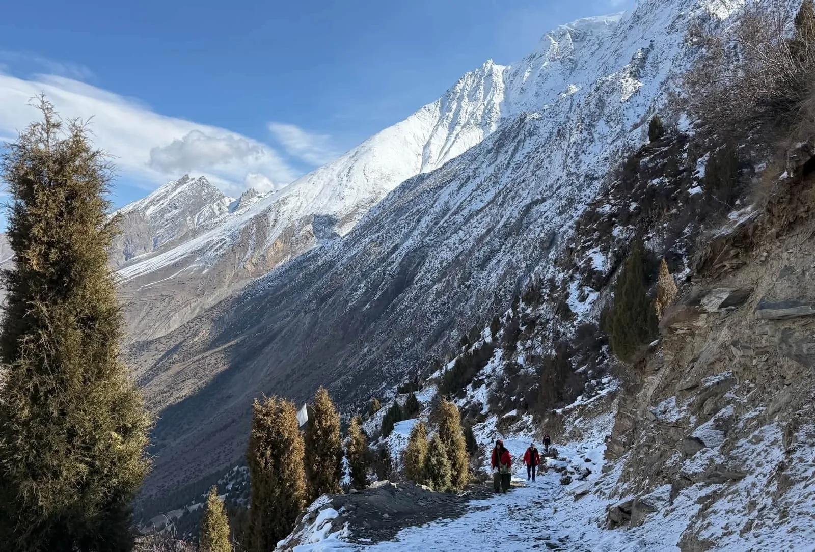
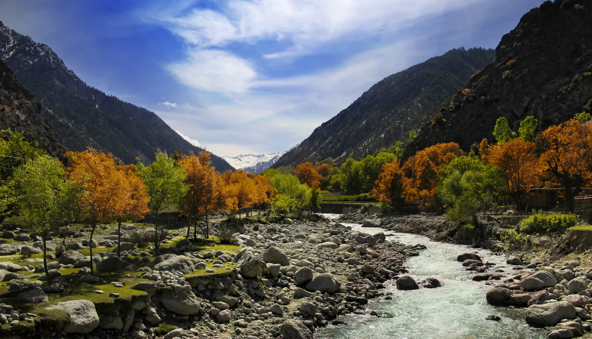
Hunza Valley Tour (Winter)
16 Nov to 25 Nov 2026 · 10 days · +1 more date
 15DecAvailable
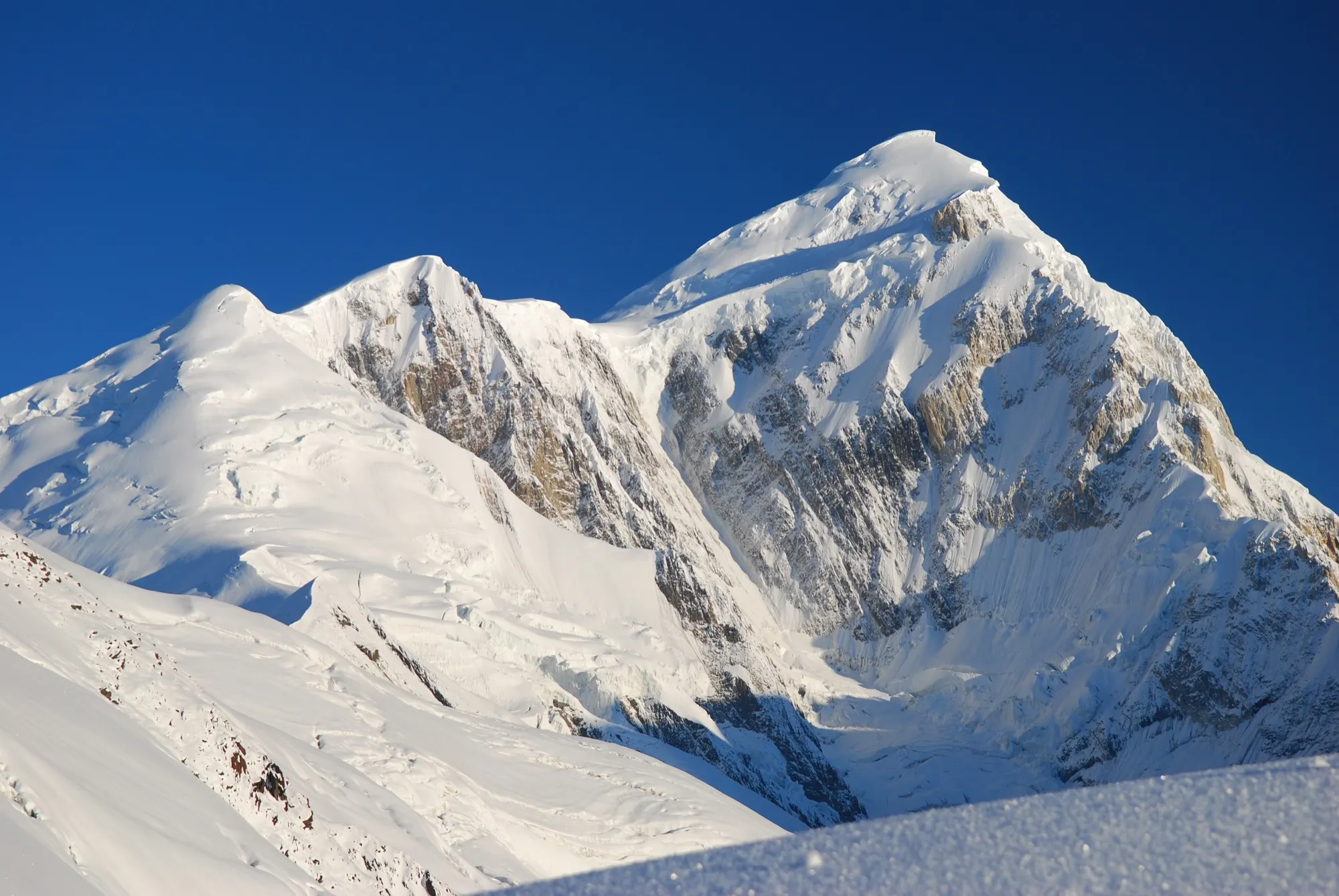
Kalash Festival Tour (Winter Choimus)
15 Dec to 29 Dec 2026 · 15 days
 20DecAvailable
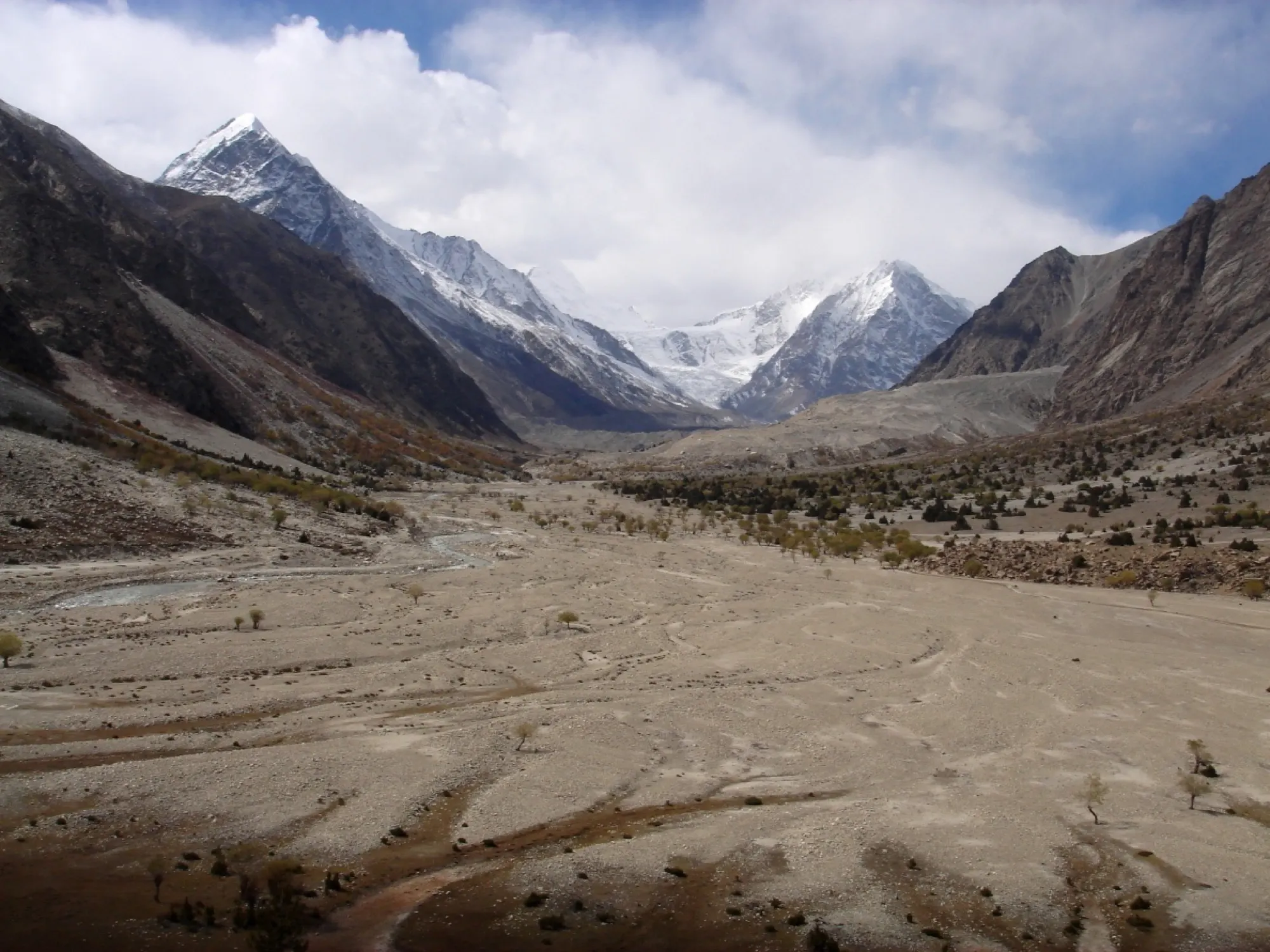
Spantik Expedition (Winter)
20 Dec 2026 to 18 Jan 2027 · 30 days
 29DecAvailable
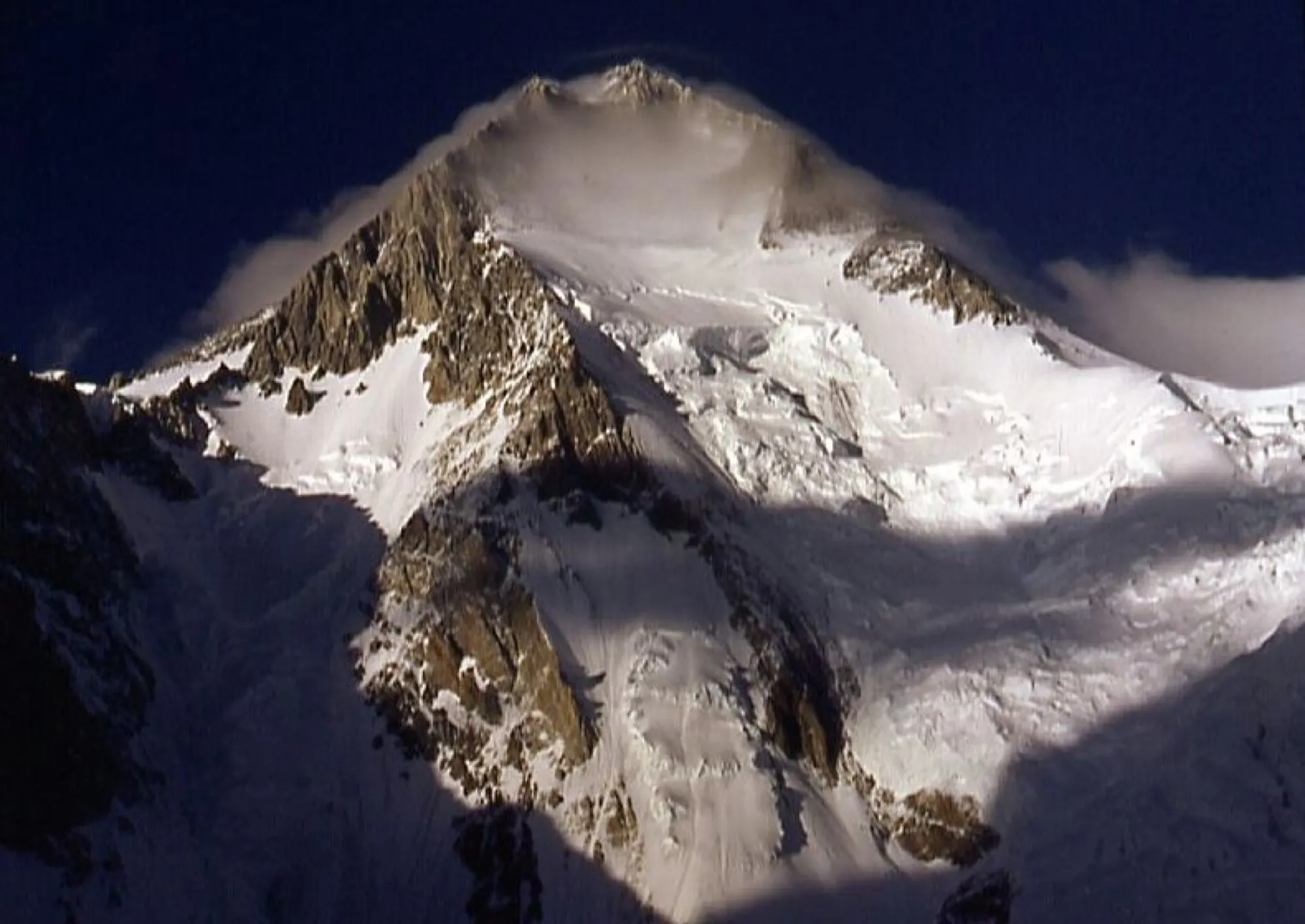
Nanga Parbat Expedition (Winter)
29 Dec 2026 to 9 Feb 2027 · 43 days
 29DecAvailable
Gasherbrum I Expedition (Winter)
29 Dec 2026 to 12 Feb 2027 · 46 days
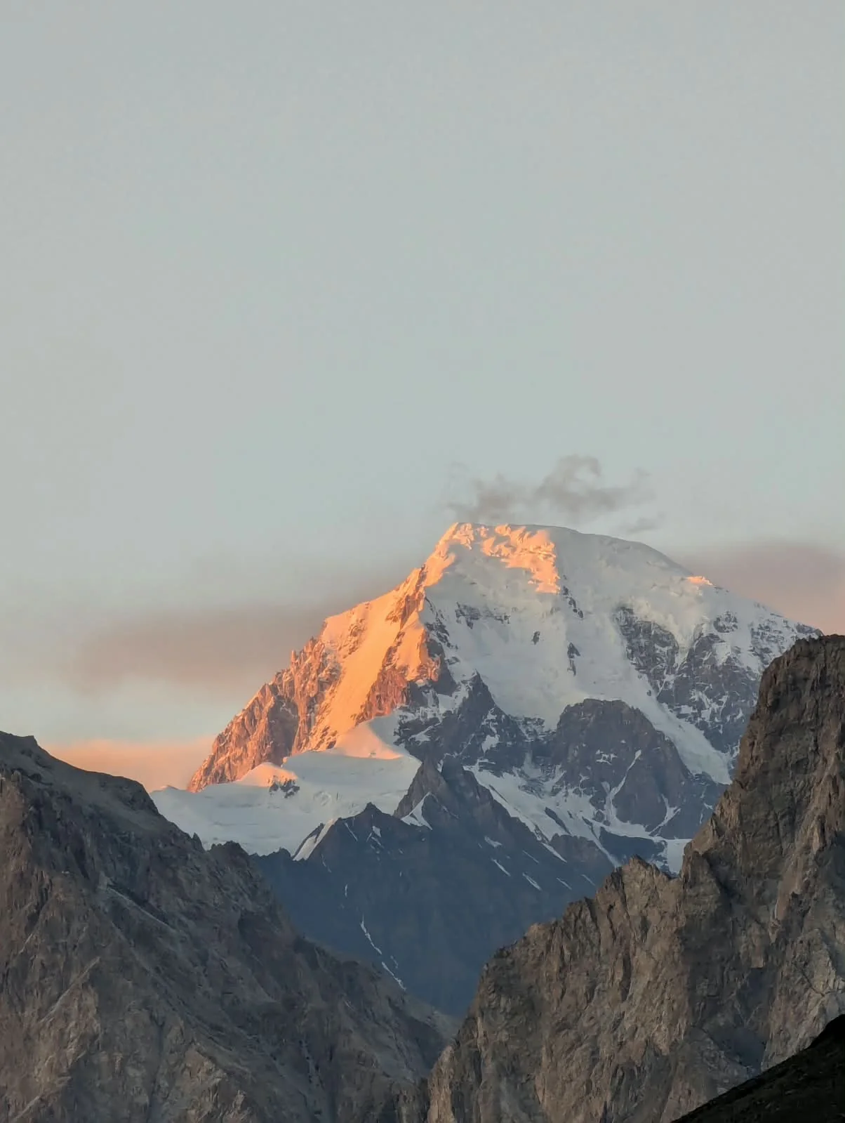 29DecAvailable
Gasherbrum II Expedition (Winter)
29 Dec 2026 to 12 Feb 2027 · 46 days
Top destinations
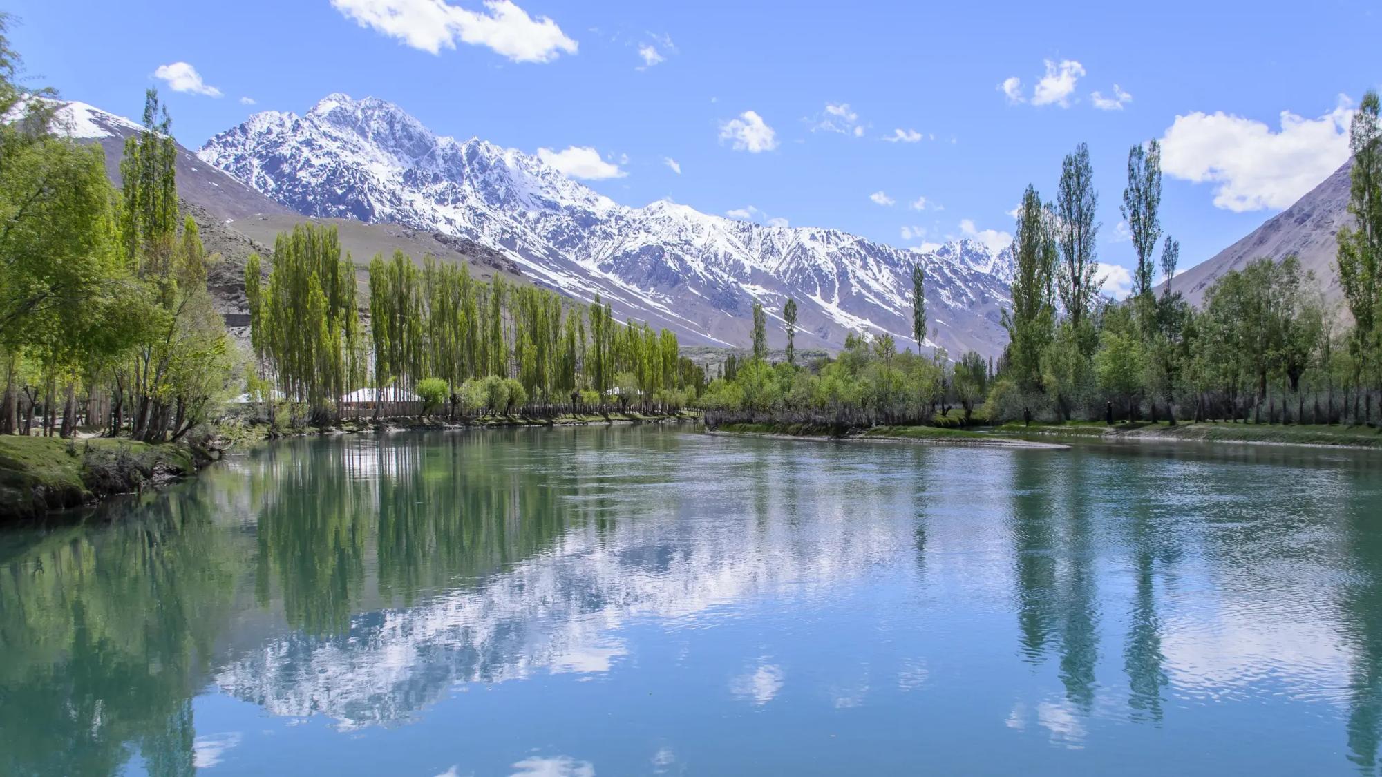
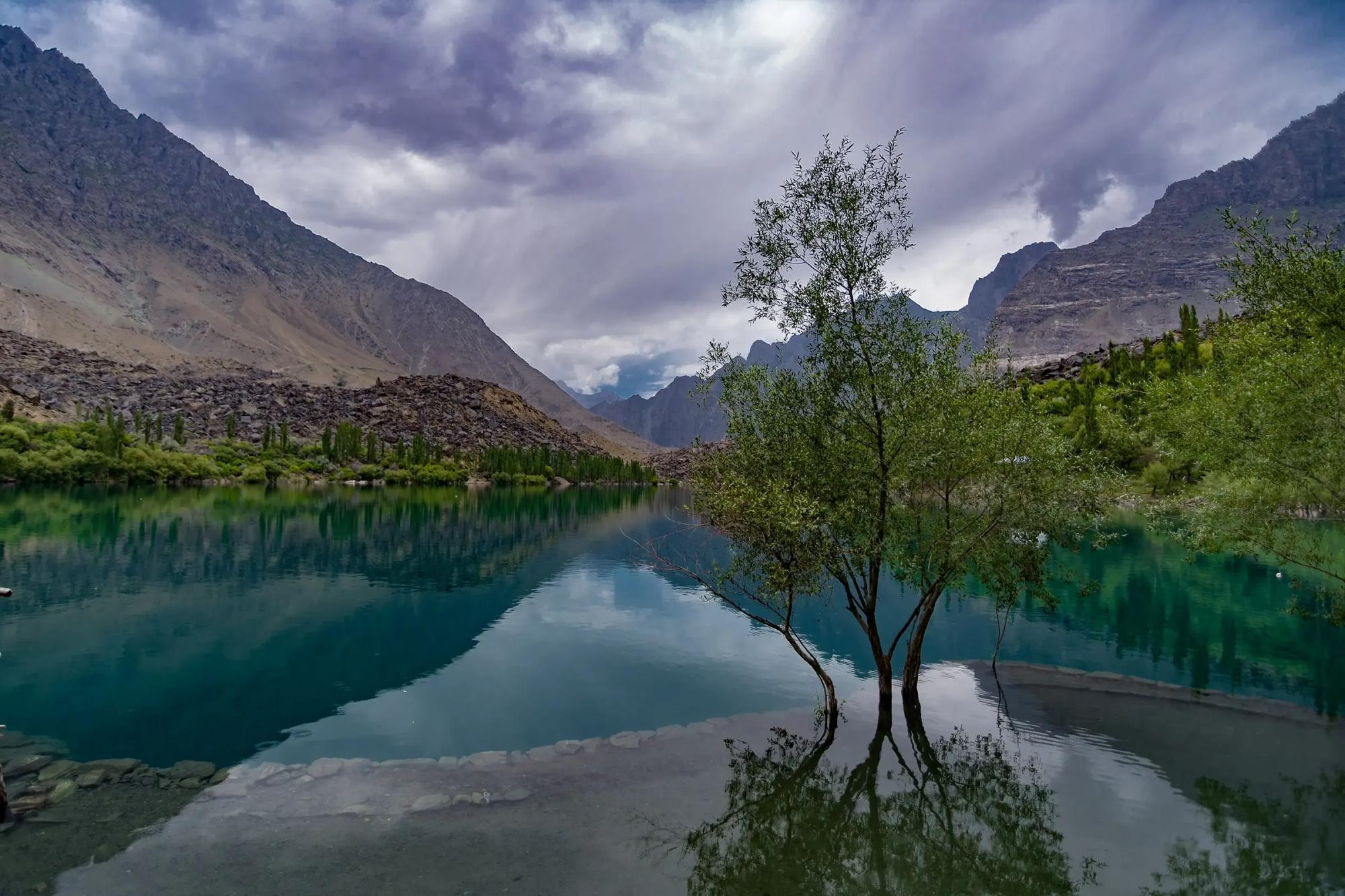
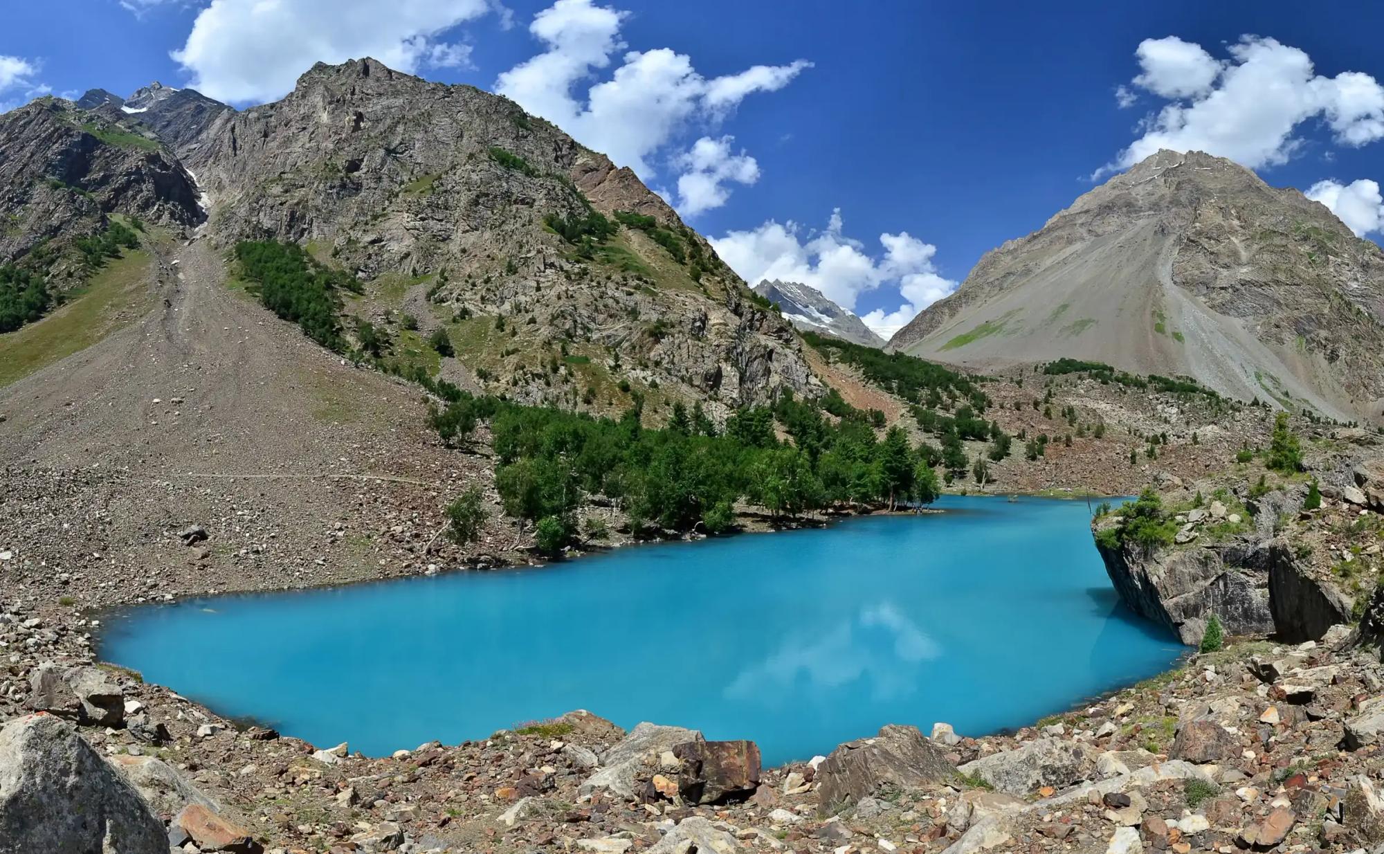
Lakes, glaciers and old villages our guests ask for most. Tap one for the full guide.
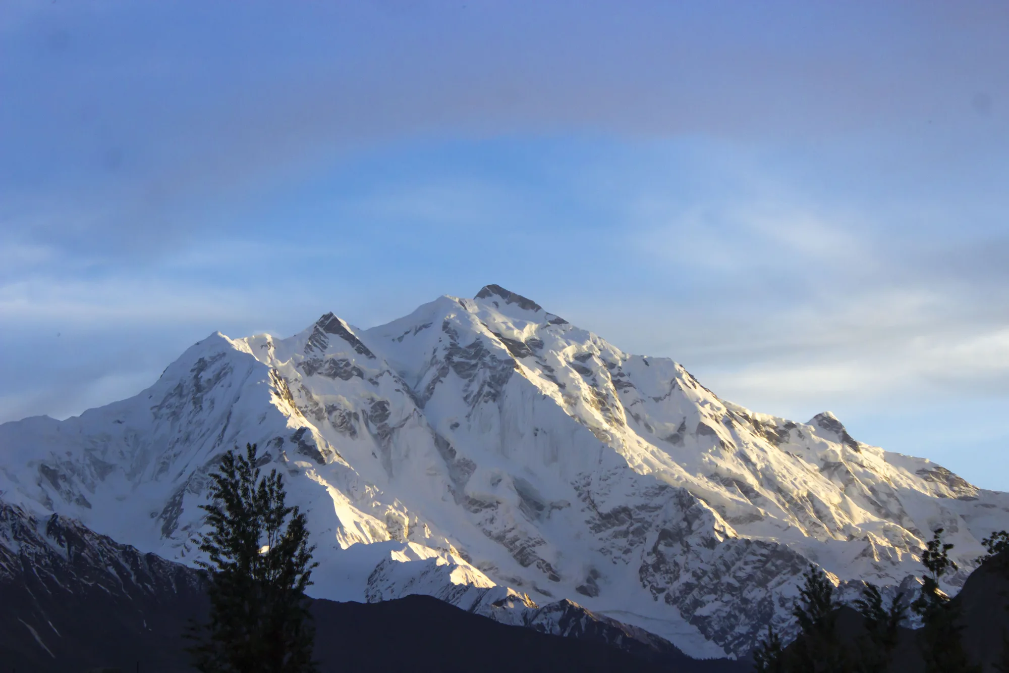
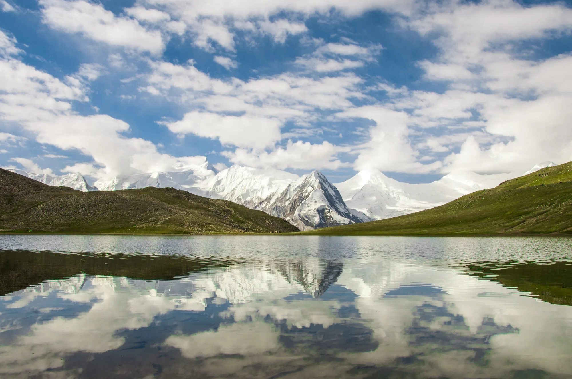
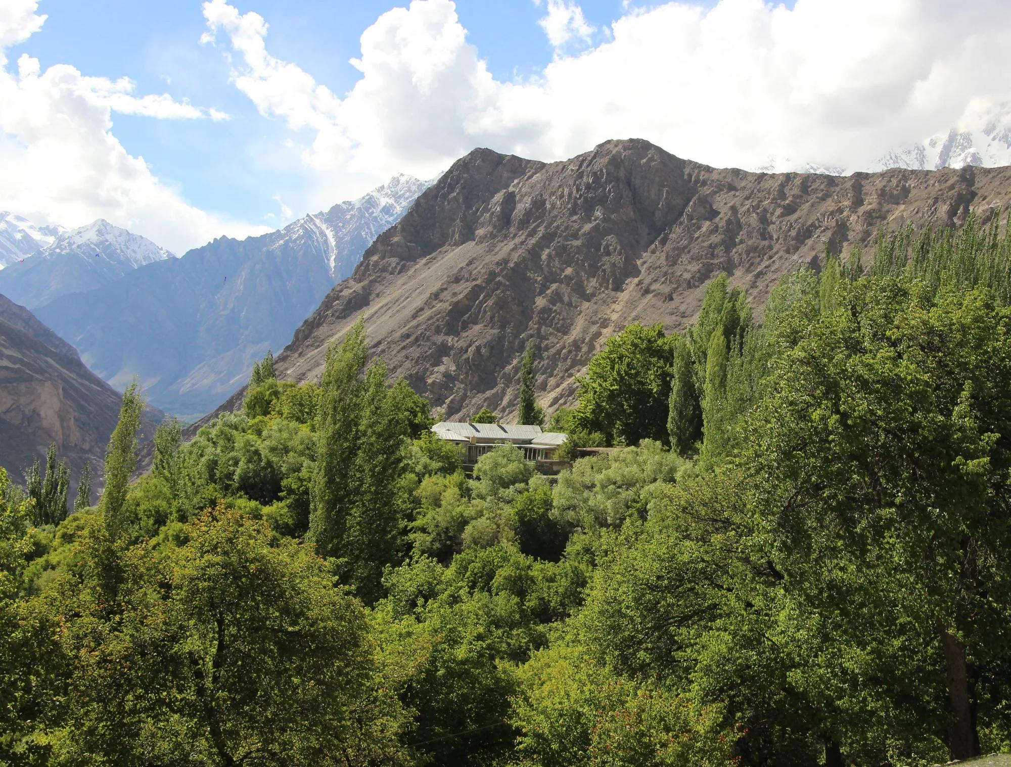
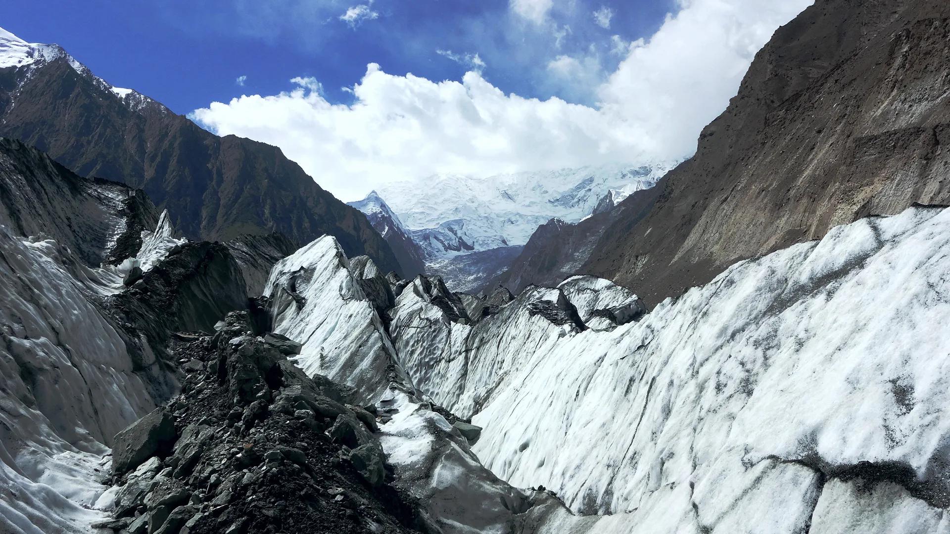
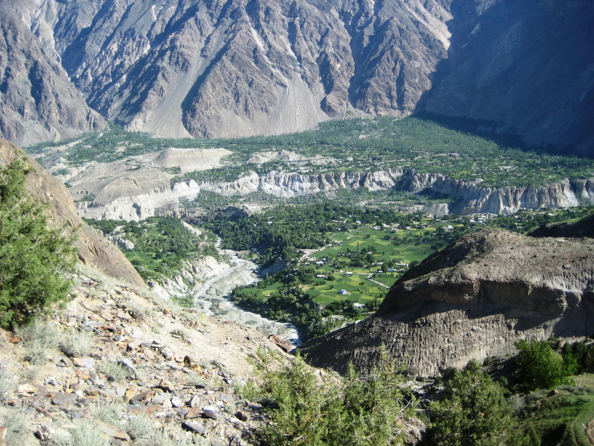
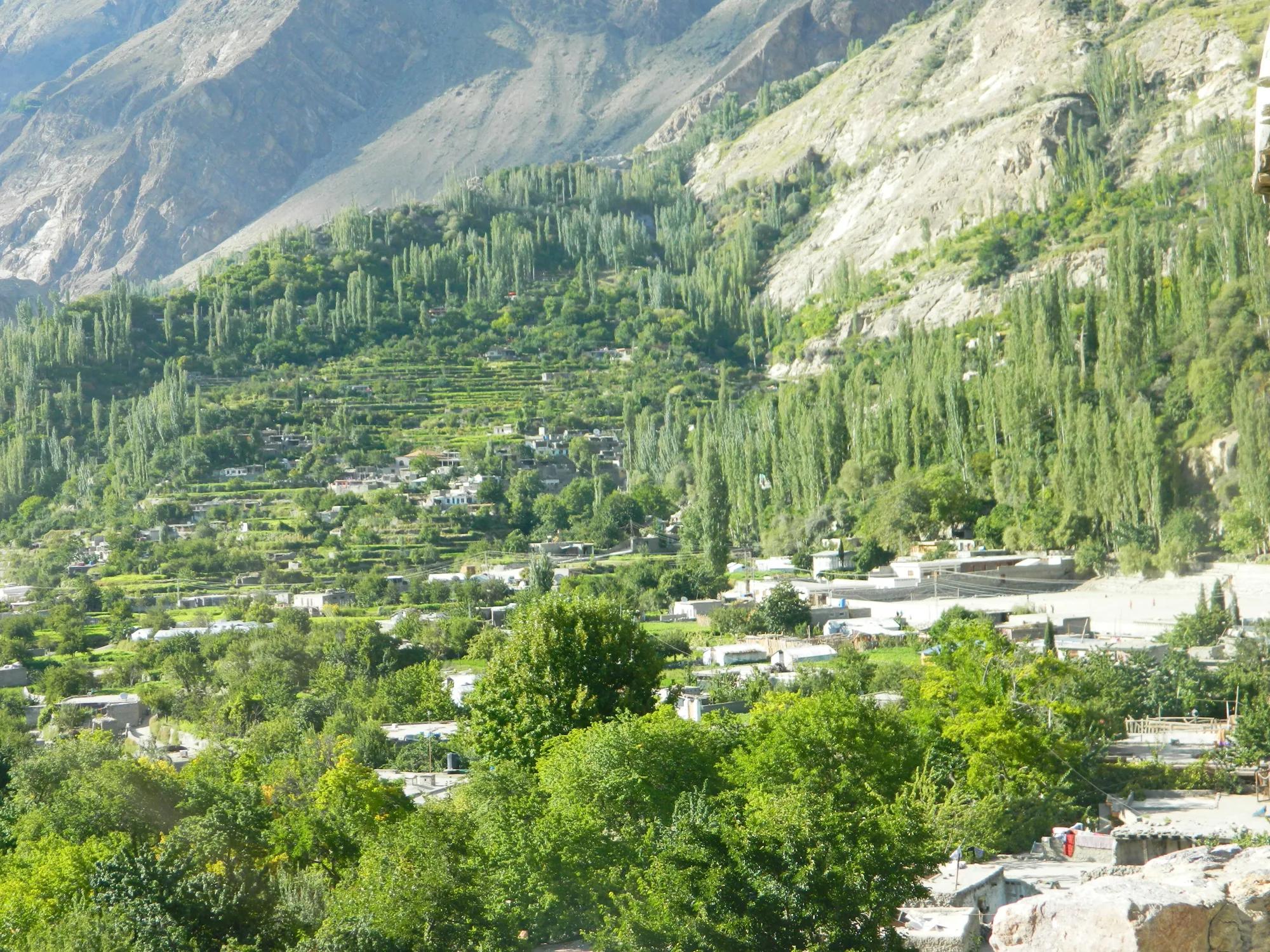
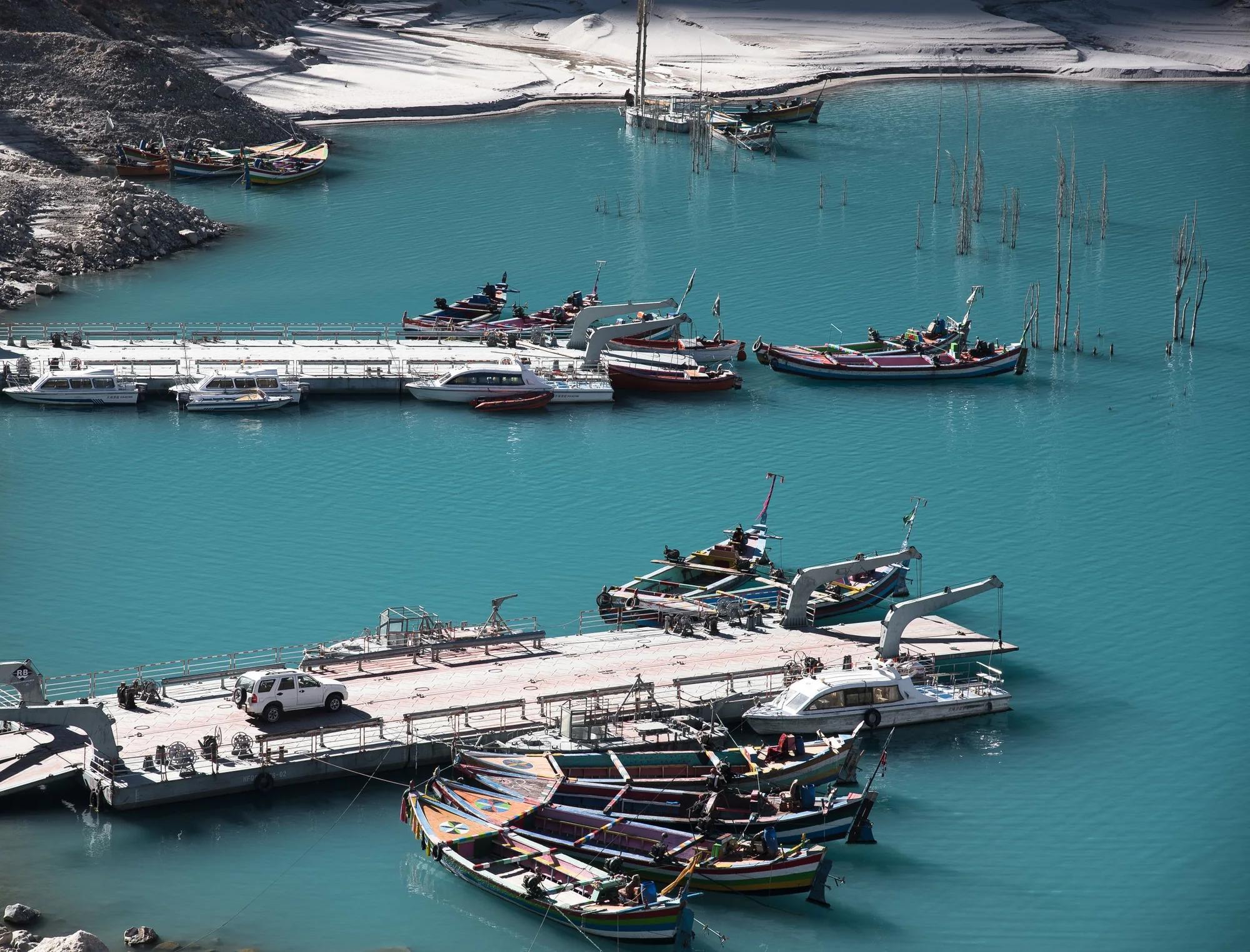
Four ways to travel
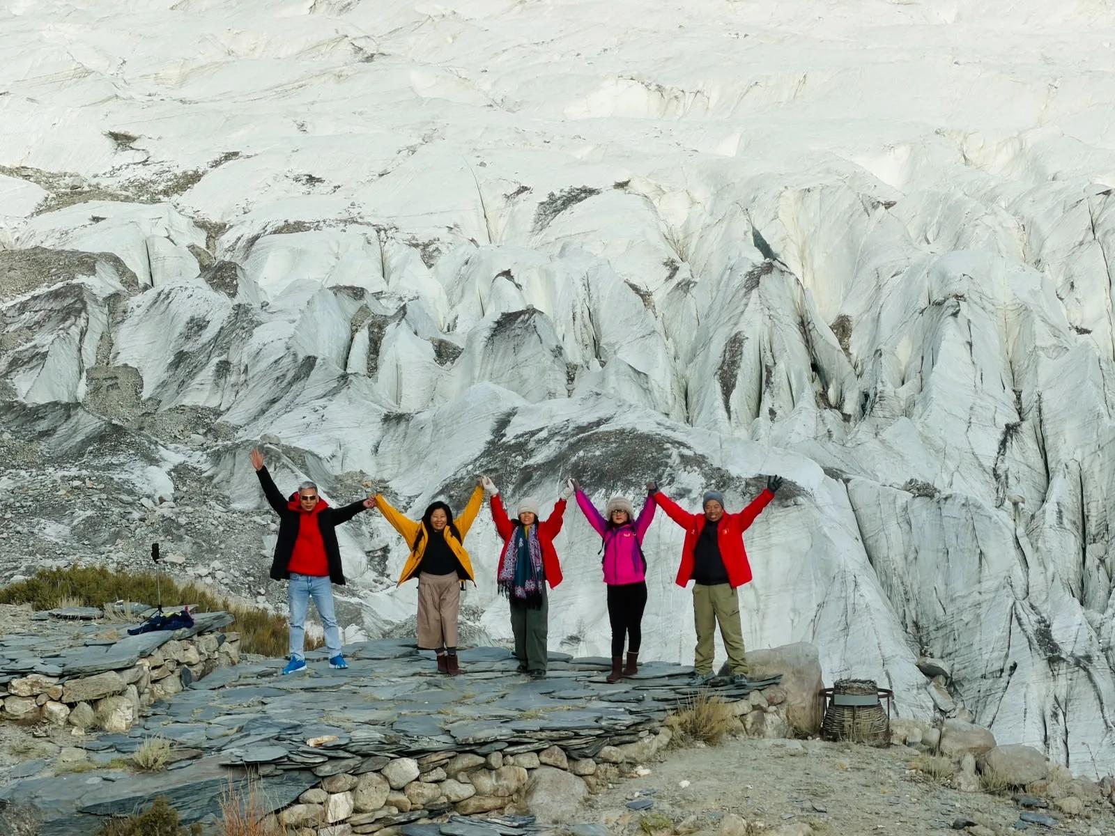
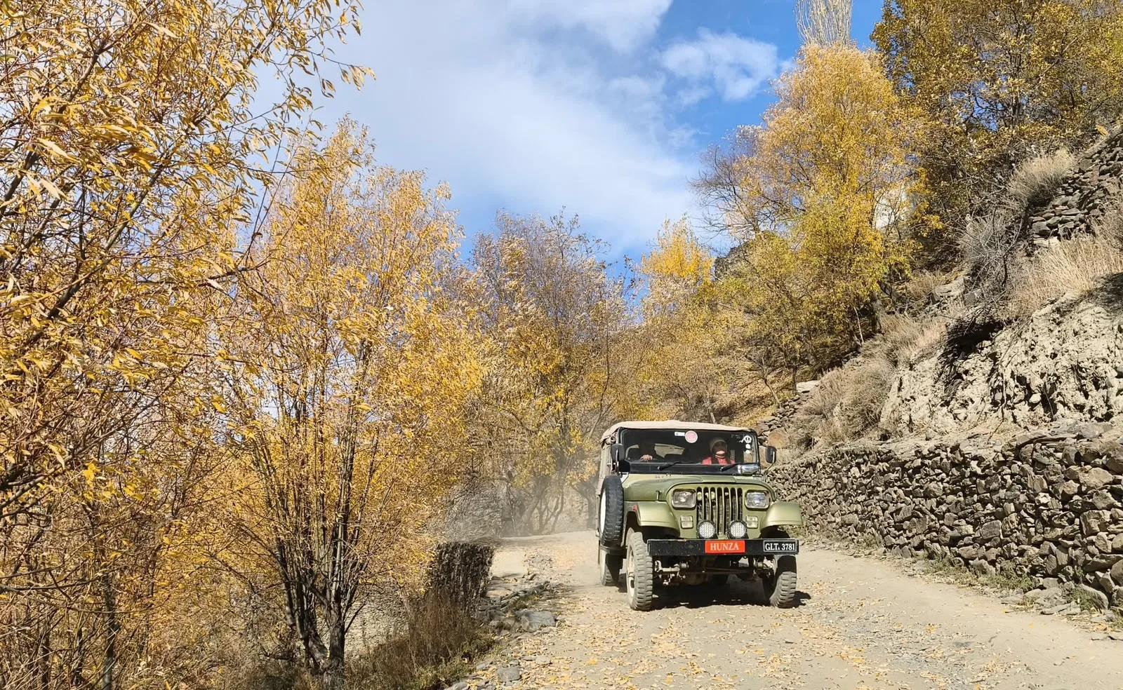
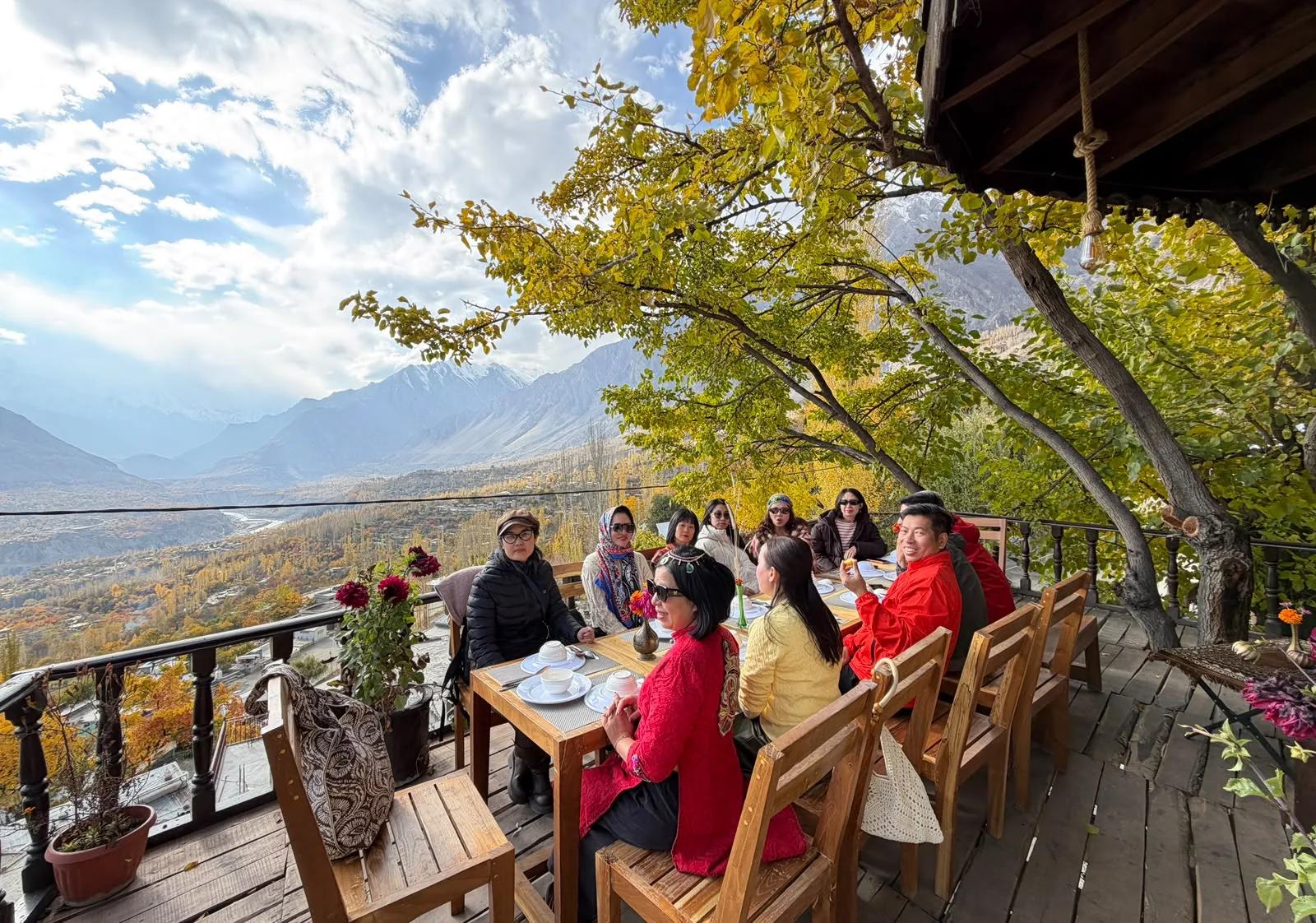
What runs in autumn
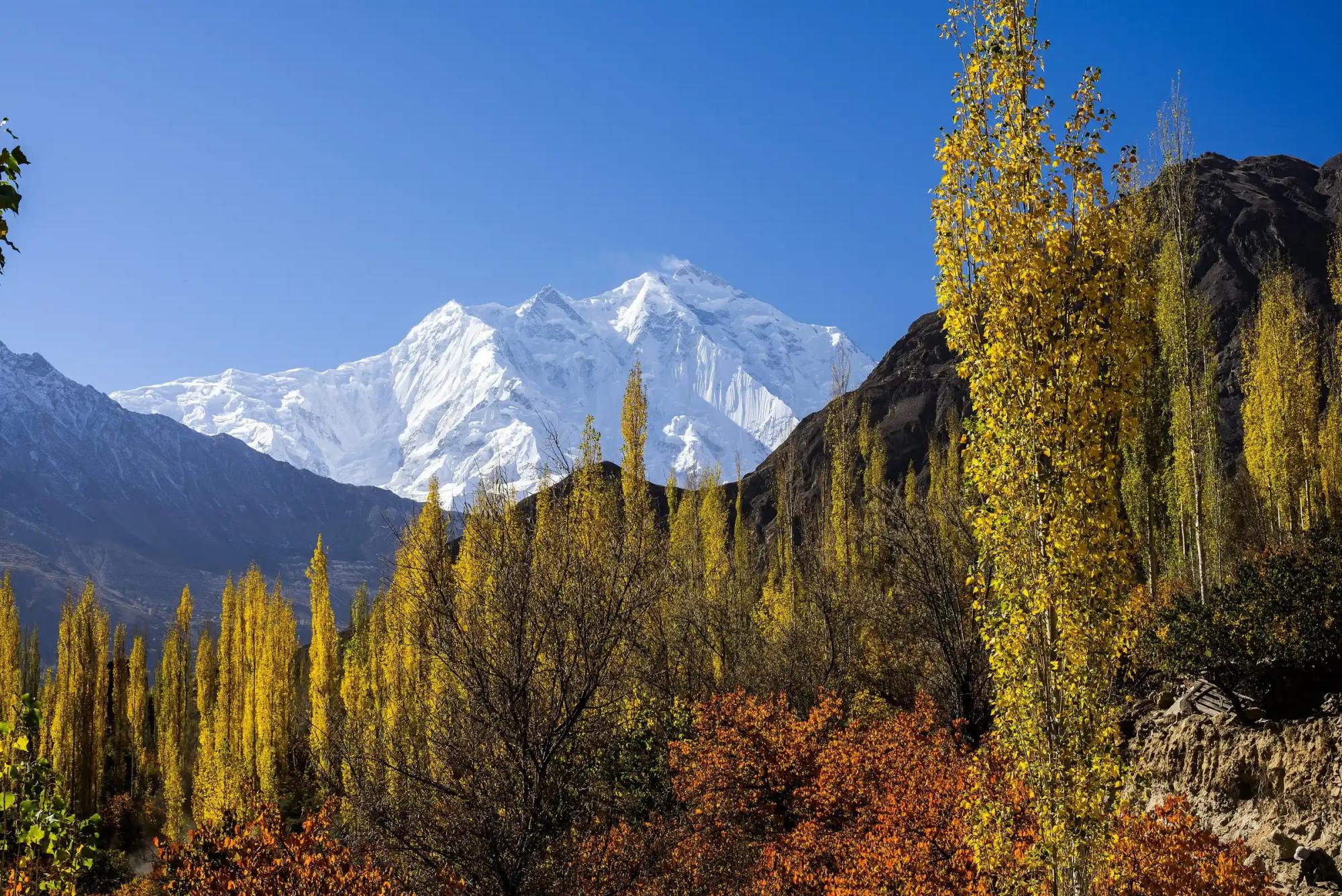
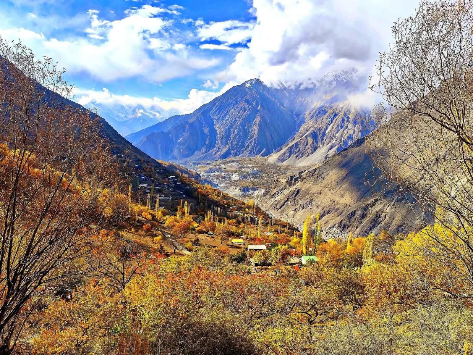
October to November. Poplar and apricot turn gold the length of the valley, under the clearest skies of the year.
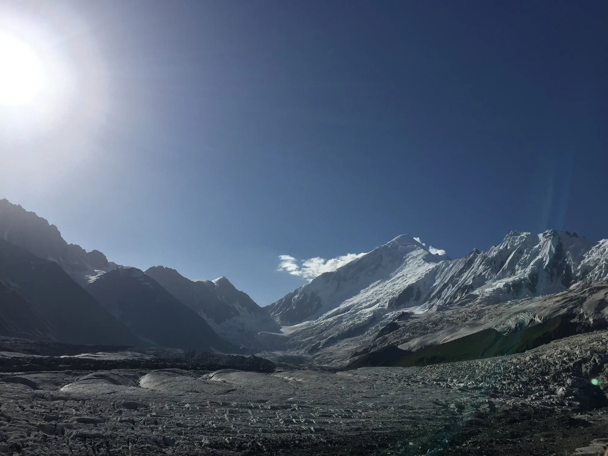 Trekking
Nagar
Rakaposhi Base Camp
- Highest point
- 3,500 m
- Duration
- 5 days
- Grade
- Moderate
 Trekking
Diamer
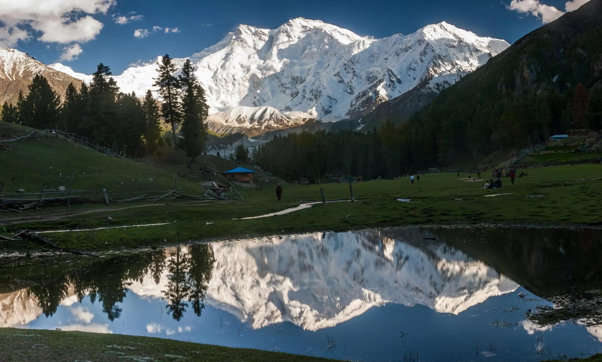
Fairy Meadows and Nanga Parbat Base Camp
- Highest point
- 4,200 m
- Duration
- 7 days
- Grade
- Moderate
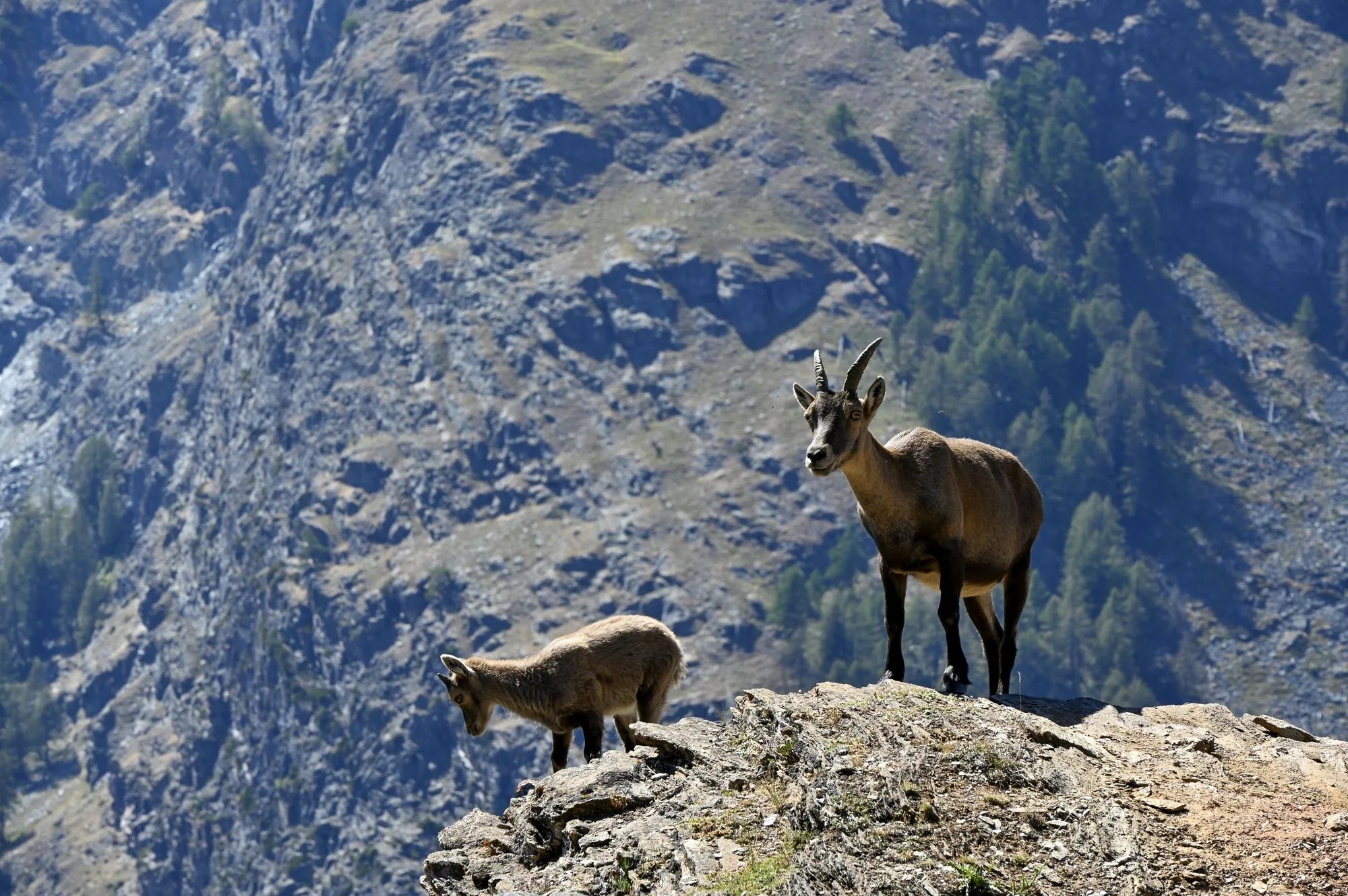
 Trophy hunting
Astore, Diamer
Astore Markhor
- Highest point
- 4,200 m
- Duration
- 14 days
- Grade
- Extreme
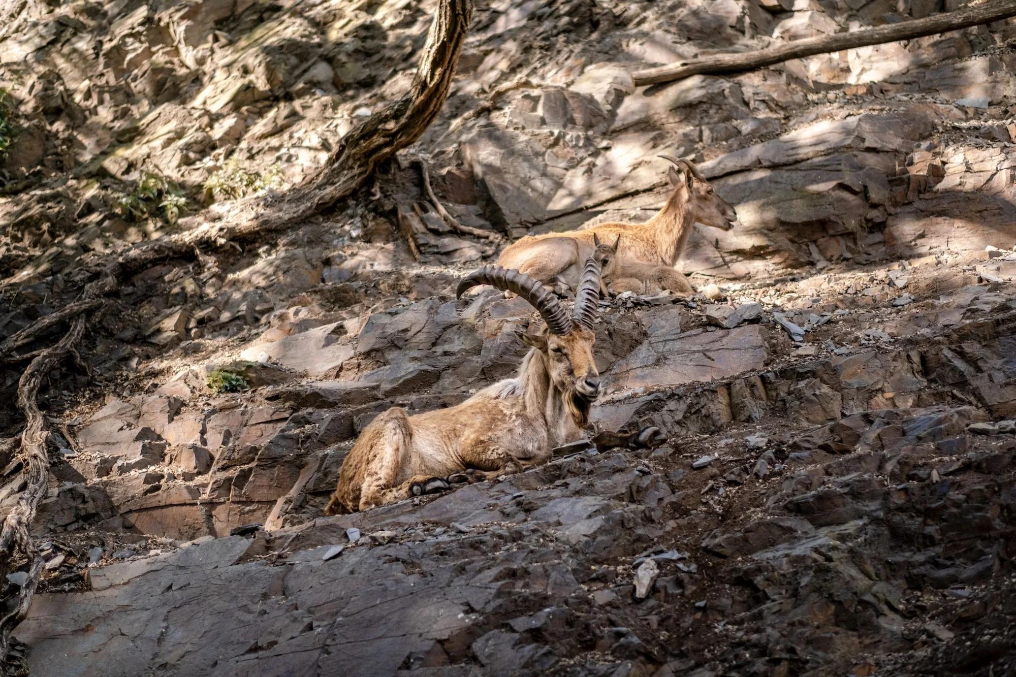
 Trophy hunting
Nagar, Ghizer and Baltistan
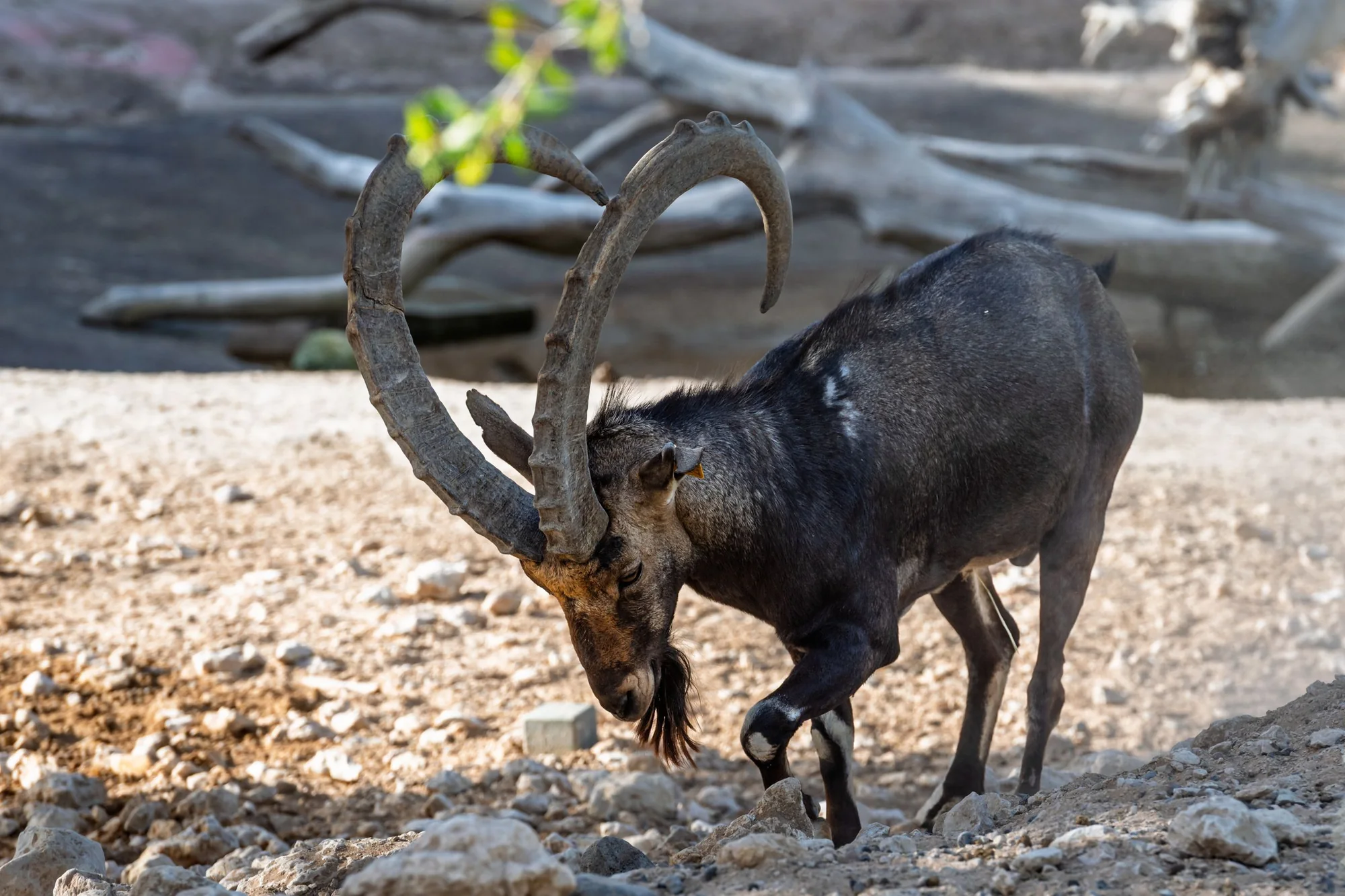
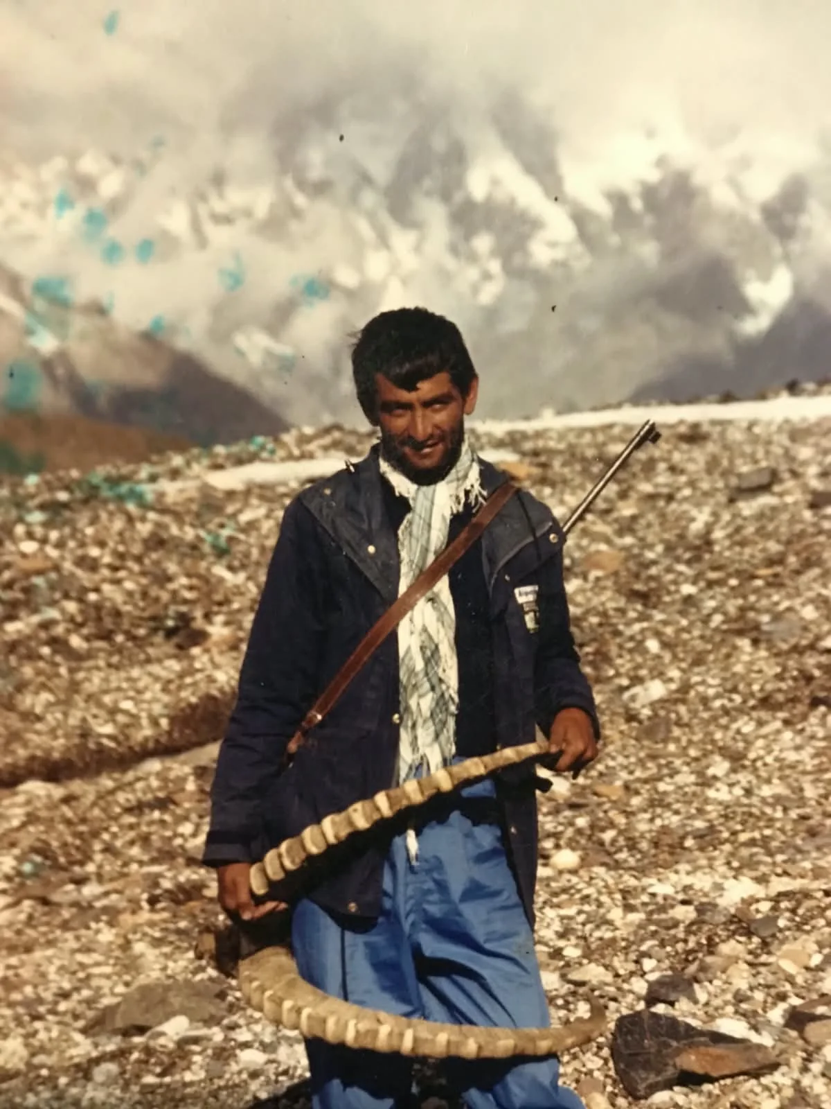
Himalayan Ibex
- Highest point
- 4,600 m
- Duration
- 12 days
- Grade
- Severe
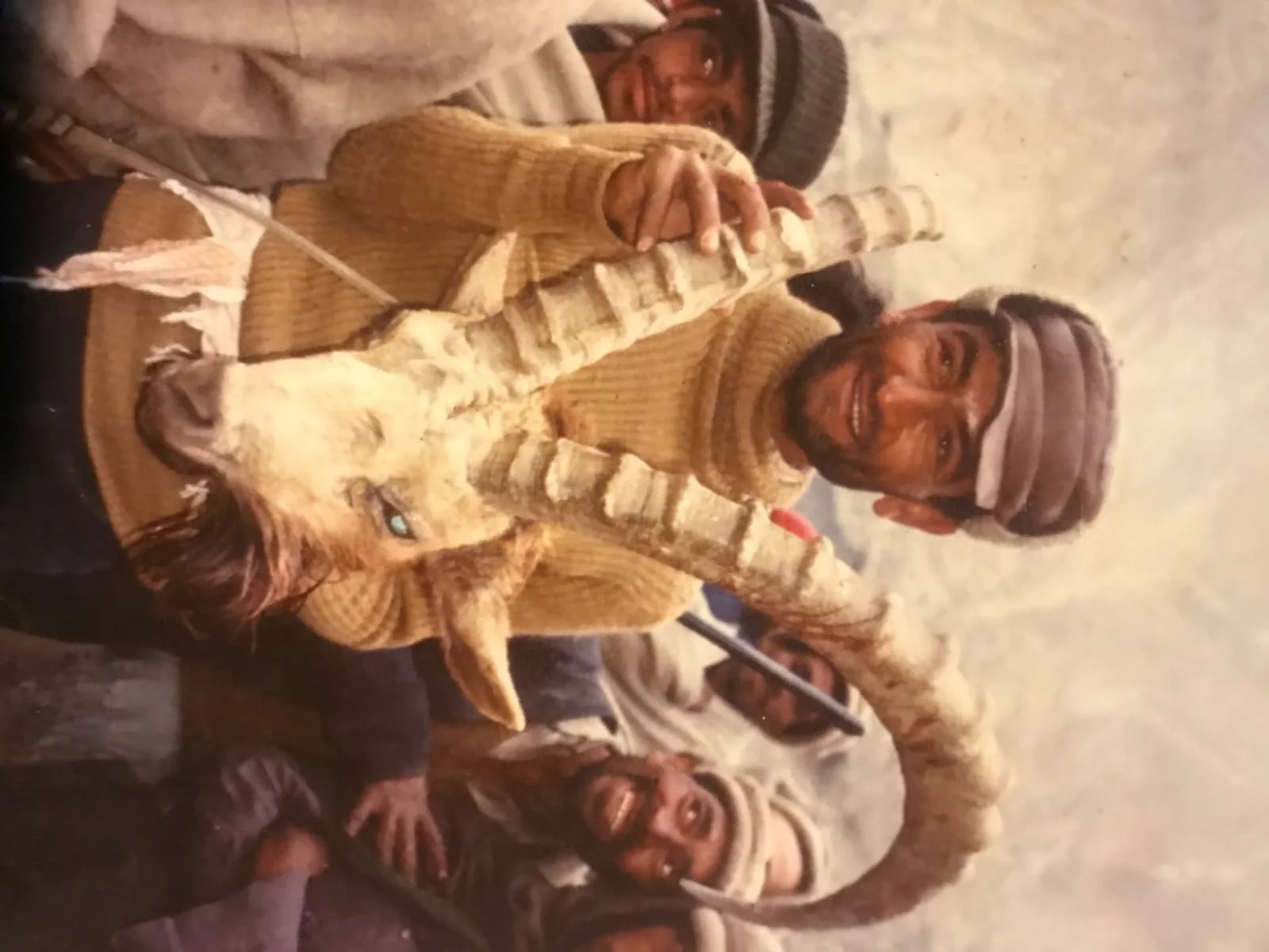
 Trophy hunting
Shimshal and Khunjerab fringe
Blue Sheep
- Highest point
- 4,900 m
- Duration
- 14 days
- Grade
- Extreme
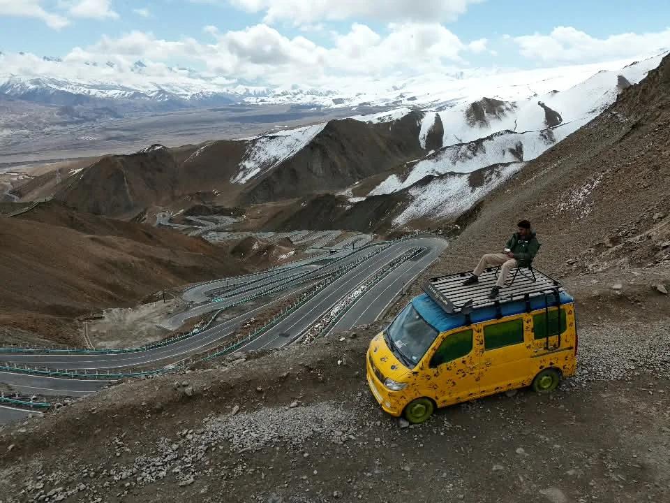
 Overland safari
Hunza, Gilgit-Baltistan
Hunza in Winter
- Highest point
- 4,693 m
- Duration
- 10 days
- Grade
- Moderate
Six valleys, three ranges
The Karakoram, the western Himalaya and the Hindu Kush meet inside Gilgit-Baltistan.
01 / 06
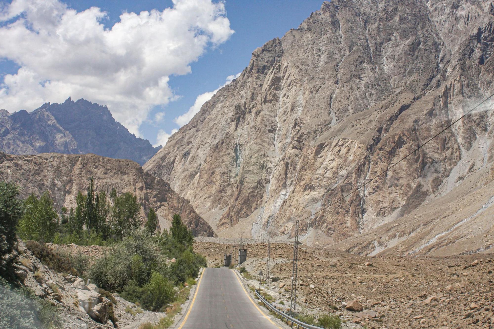
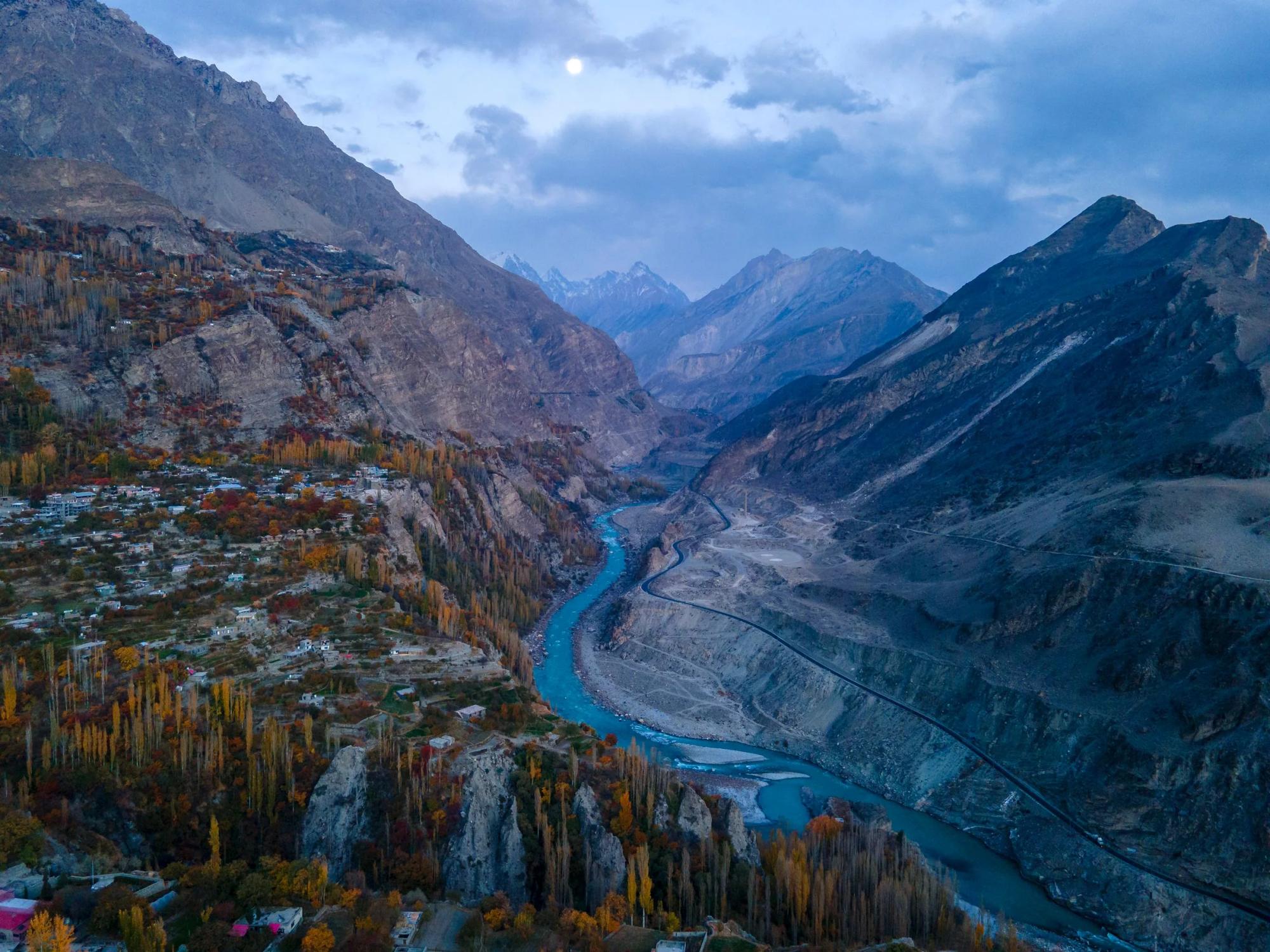
Hunza
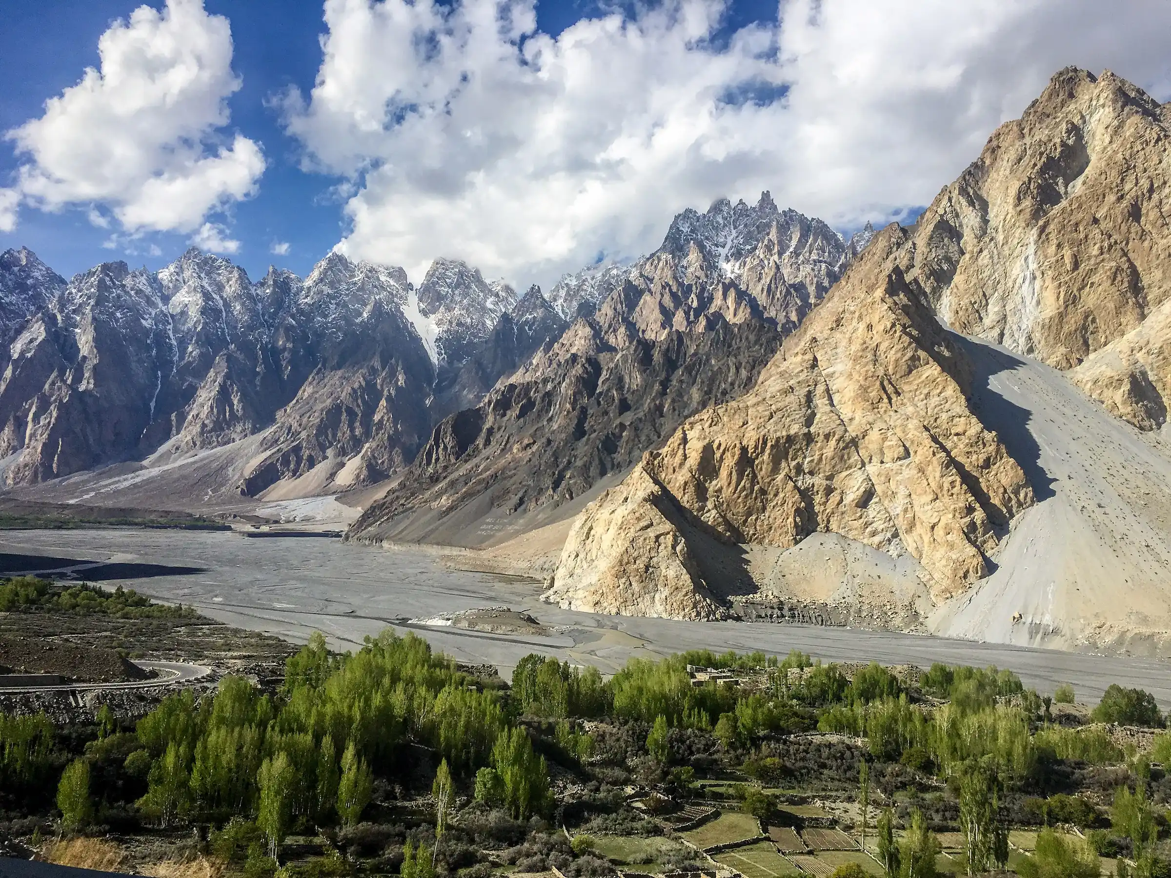
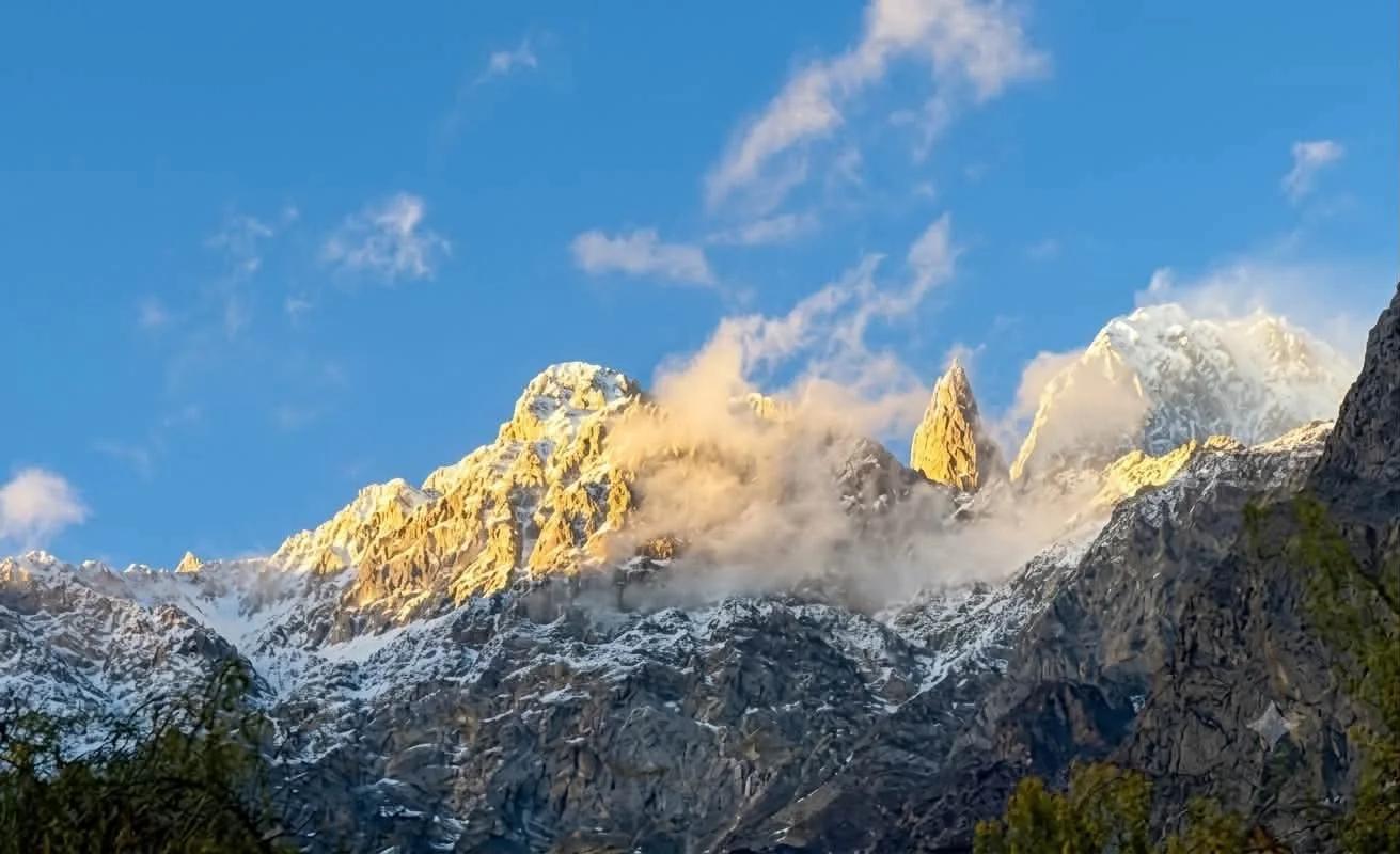
Terraced villages, the Passu cones and the road up to Khunjerab.
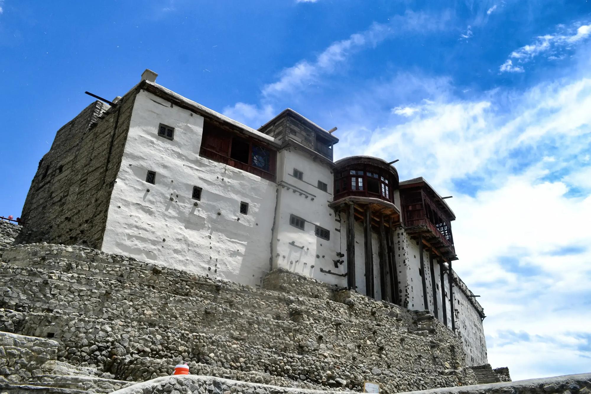
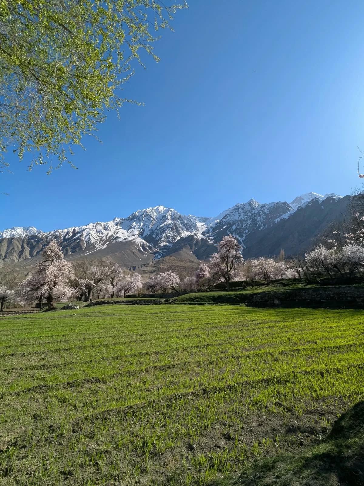
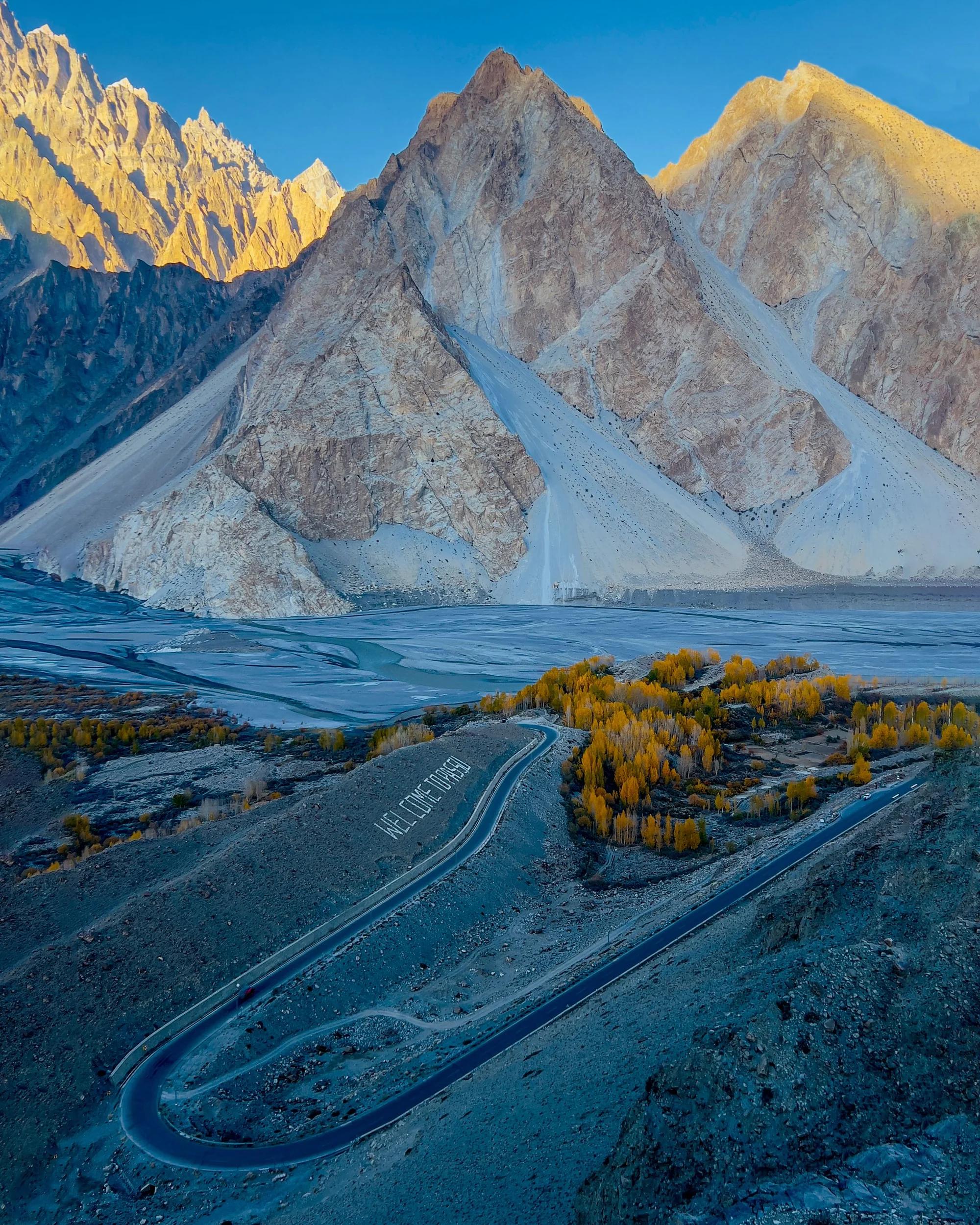
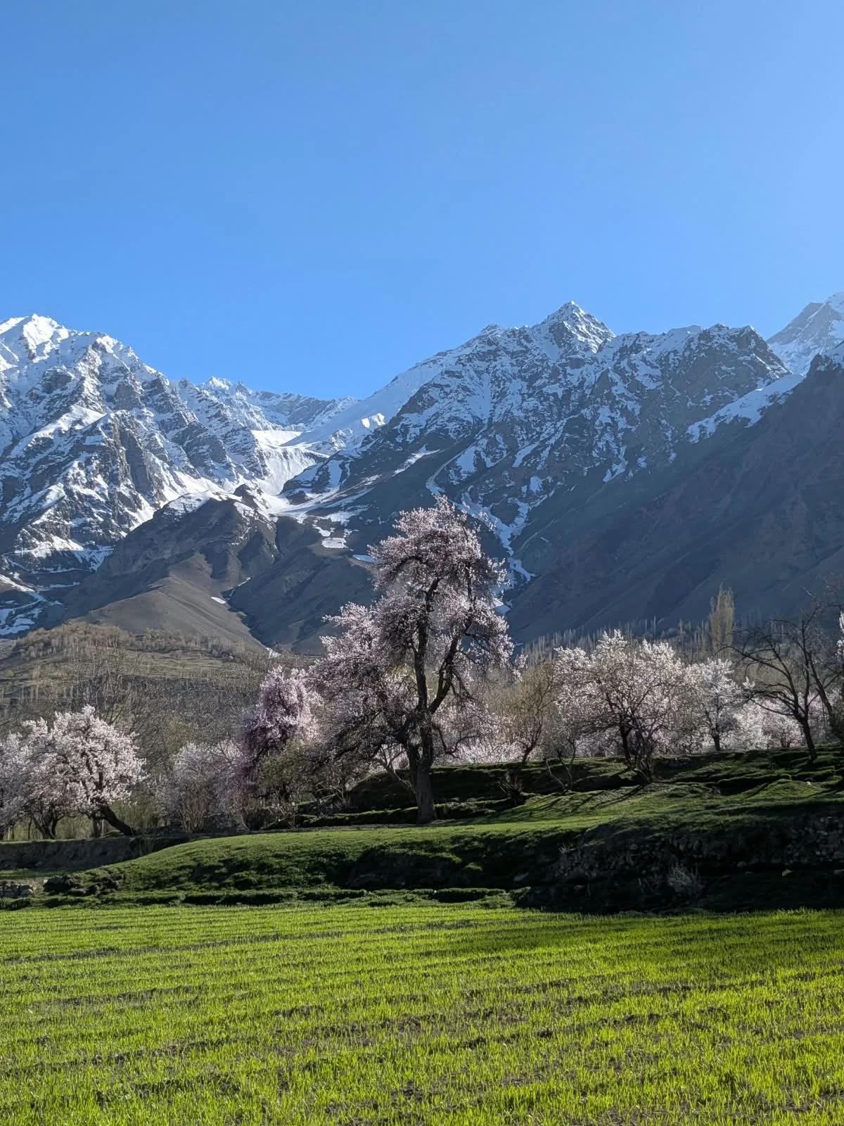
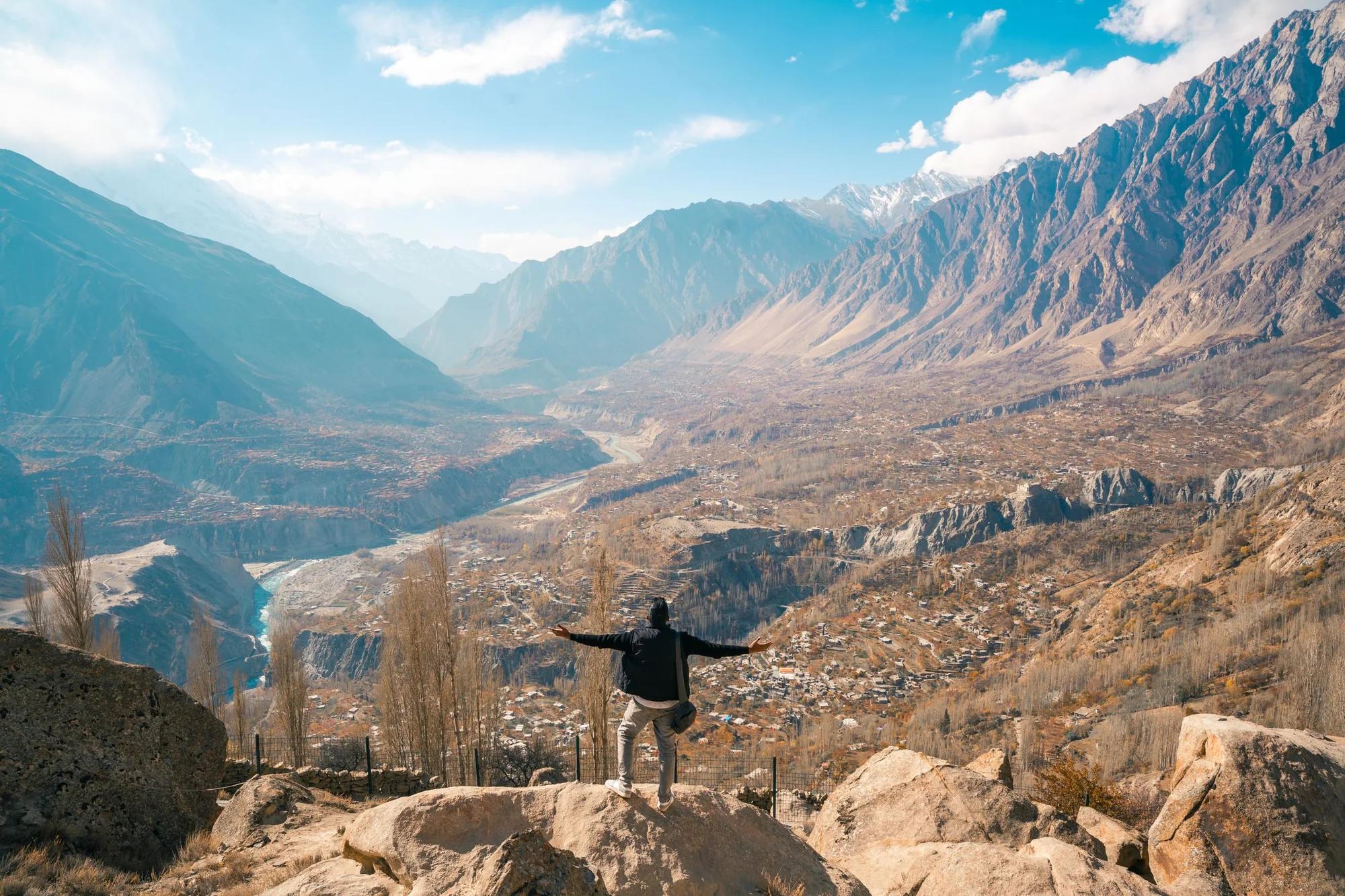
Hunza runs north along the Karakoram Highway from Rakaposhi to the Chinese border. Karimabad and its two old forts sit above apricot orchards, and further up Gulmit, Passu and Sost lead to the Khunjerab Pass at 4,693 m. Good guesthouses, walnut cake and a 7,000 m peak from almost every terrace.
- Best time
- Apr to Oct
- Base
- Karimabad, 2,450 m
- Known for
- Blossom, forts, Attabad
KarimabadBaltit FortAltit FortUltar Sar
12 routes here02 / 06
Shigar and the Baltoro
The glacier walk to Concordia and K2.
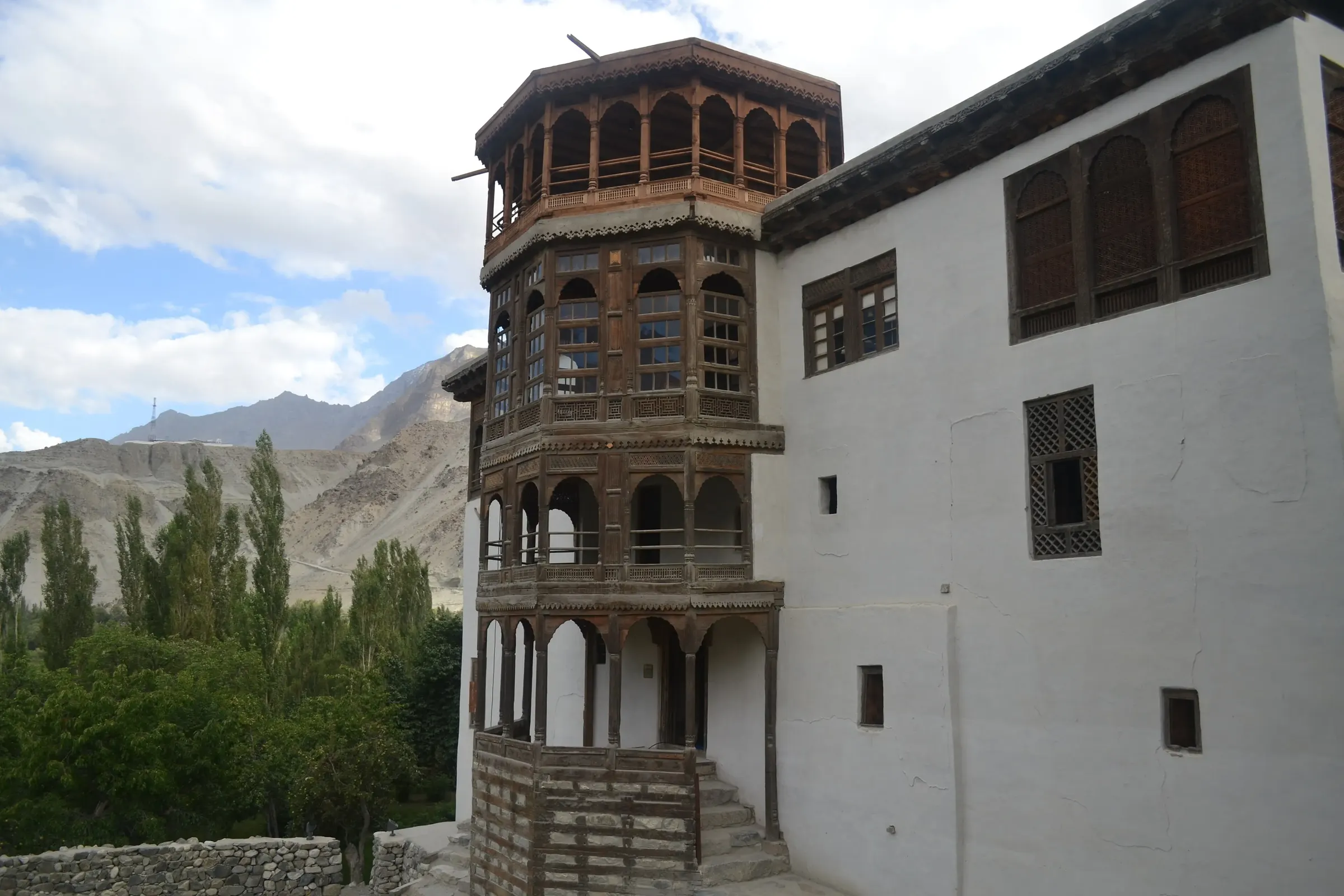
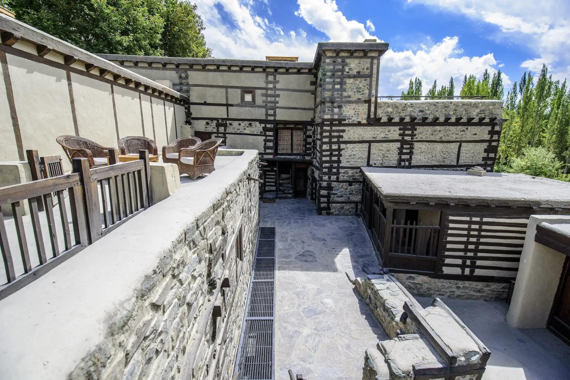
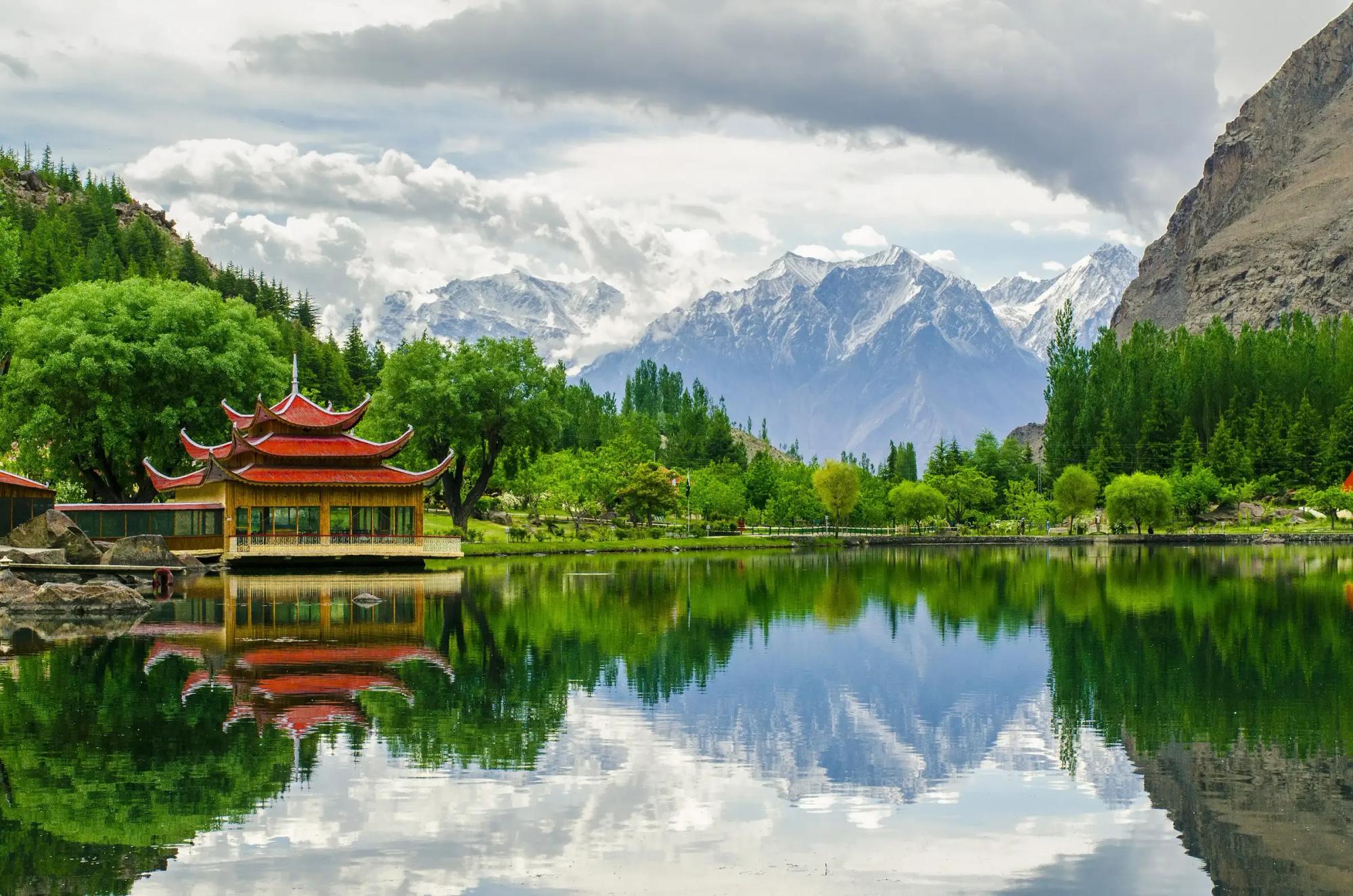
Shigar is the green valley north of Skardu, with a restored fort you can sleep in. Beyond it the road ends at Askole and the Baltoro begins: eight days on the glacier past the Trango towers to Concordia, where K2, Broad Peak and the Gasherbrums stand in one view.
- Best time
- Jun to Sep
- Base
- Shigar, 2,230 m
- Known for
- K2, Concordia, the fort
ShigarSarfarangaAskoleBiafo Glacier
12 routes here03 / 06
Nagar
Rakaposhi's north face and the Hispar glacier.
Nagar faces Hunza across the river and looks straight up at Rakaposhi. Minapin is the start of the walk to Rakaposhi base camp, and Hopar sits above the Bualtar glacier, on the way to Rush Lake and the Hispar glacier that leads to Snow Lake.
- Best time
- May to Oct
- Base
- Minapin, 2,010 m
- Known for
- Rakaposhi, Rush Lake
RakaposhiRakaposhi BCMinapinNagar Khas
8 routes here04 / 06
Skardu and Deosai
The Indus, the lakes and the plateau above them.
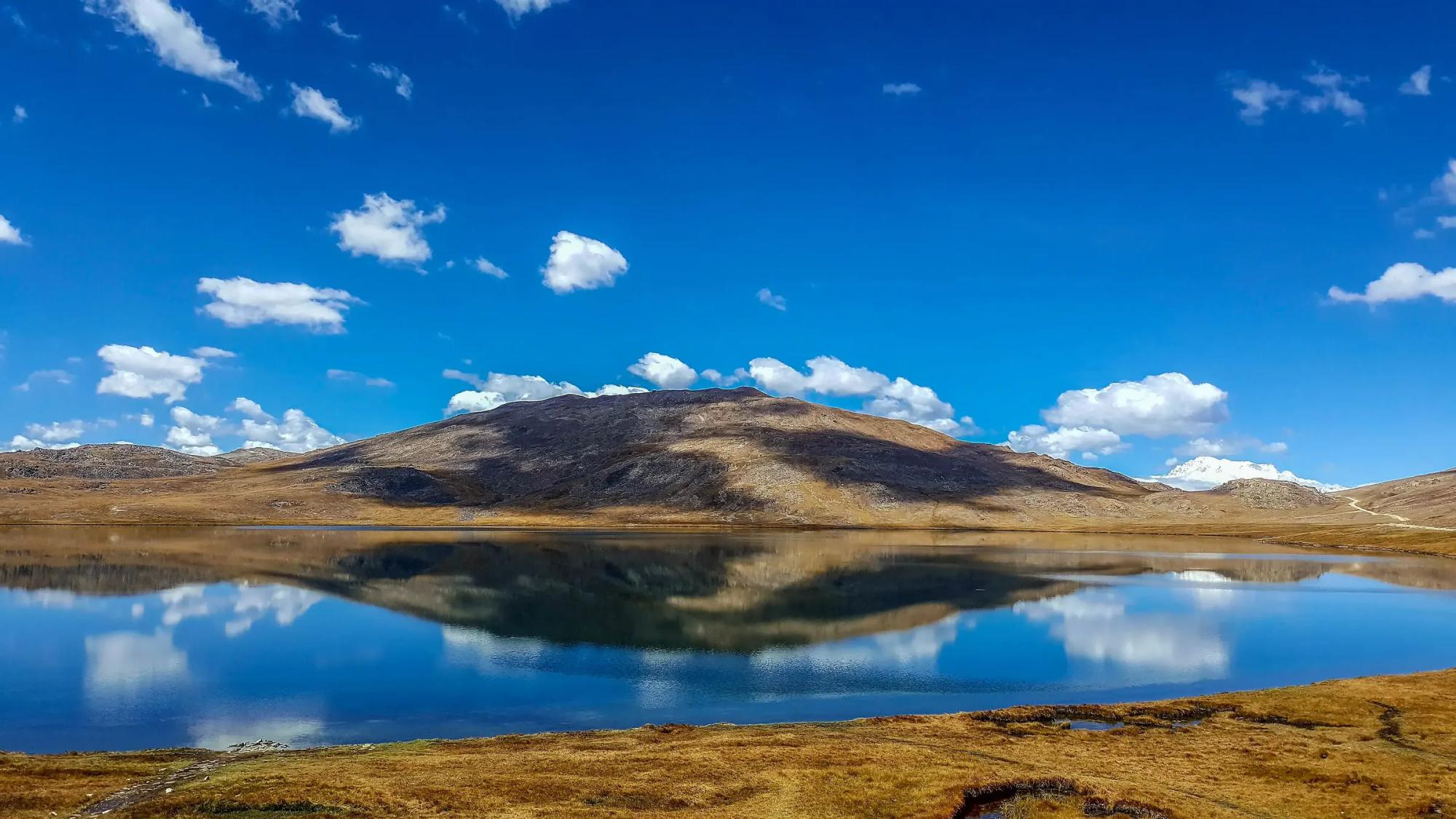
Skardu is the capital of Baltistan, a wide sandy valley on the Indus with lakes at Kachura and Satpara, an hour's flight from Islamabad. Above it lies Deosai, one of the highest plateaus in the world at about 4,000 m, bright with flowers in summer and home to the Himalayan brown bear.
- Best time
- Jun to Sep
- Base
- Skardu, 2,228 m
- Known for
- Kachura, Deosai
SkarduSatpara LakeKatpanaShangrila
15 routes here05 / 06
Astore
Markhor conservancies and the eastern road onto Deosai.
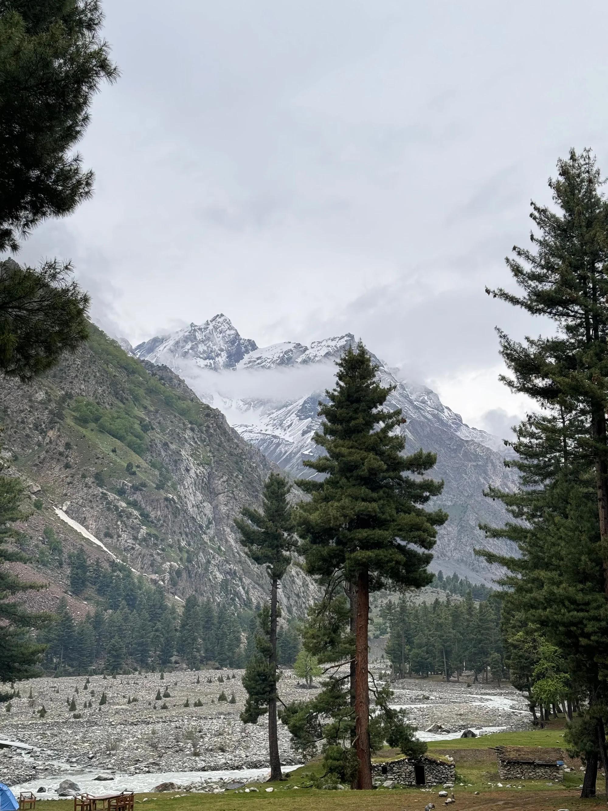
Astore is a quiet valley of pine forest and small villages between Nanga Parbat and Deosai. Its community conservancies look after markhor and ibex, the road east climbs onto the Deosai plains, and Rama lake and the Rupal face sit at the head of its side valleys.
- Best time
- Year round
- Base
- Astore, 2,600 m
- Known for
- Markhor, Rama, Rupal
06 / 06
Diamer
Fairy Meadows under the Raikot face of Nanga Parbat.
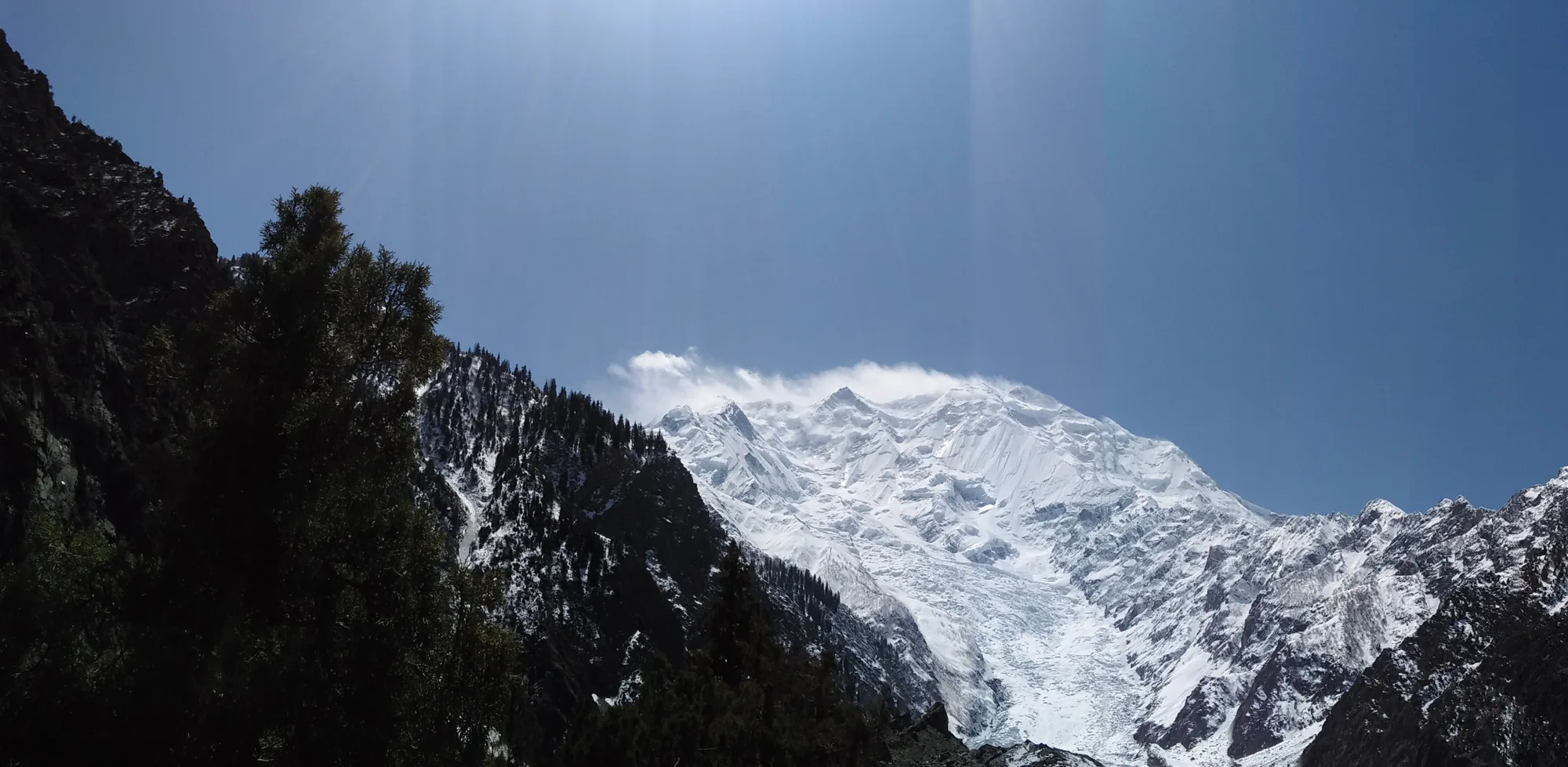
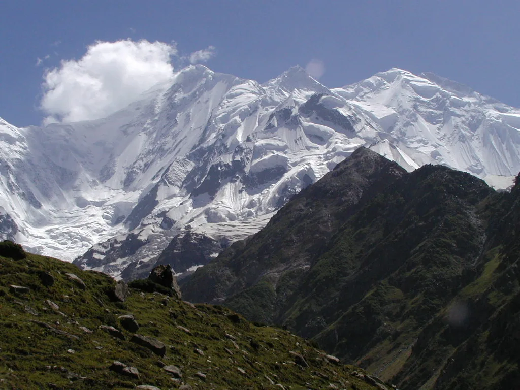
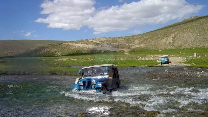
Diamer holds the north side of Nanga Parbat, 8,126 m. A jeep track from Raikot bridge and a short walk lead to Fairy Meadows, a pine meadow with the Raikot face filling the sky, and a day further on to Beyal and the base camp.
- Best time
- May to Oct
- Base
- Fairy Meadows, 3,300 m
- Known for
- Nanga Parbat
ChilasRaikot BridgeFairy MeadowsNanga Parbat
13 routes here
Signature routes
All itineraries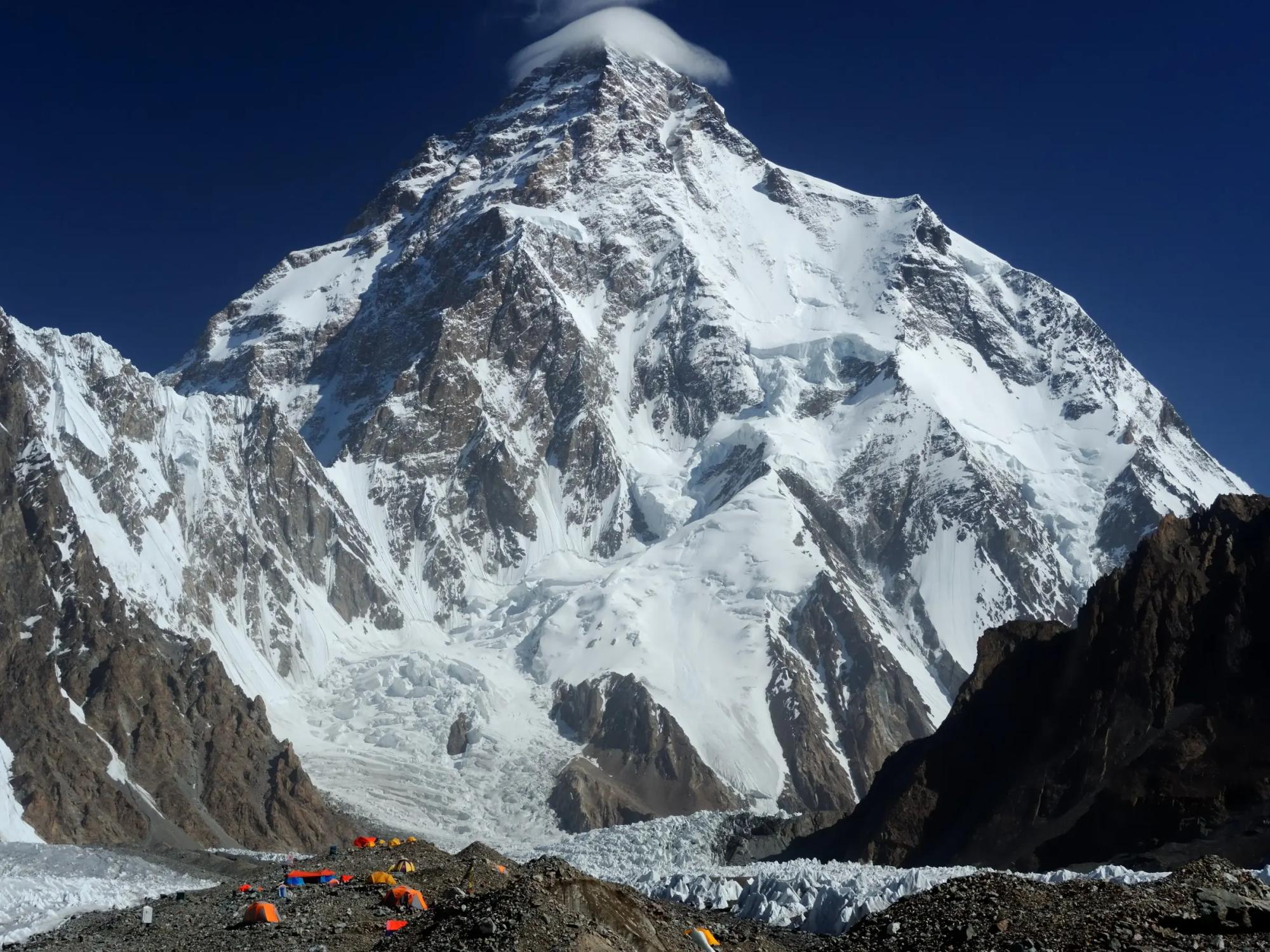
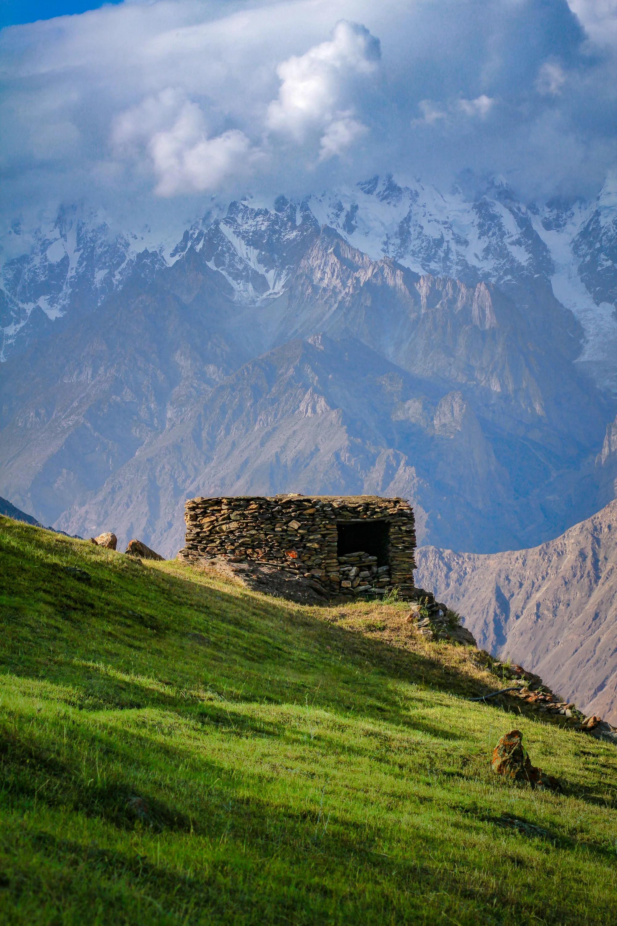
Trek, Baltoro, Baltistan
K2 Base Camp and Gondogoro La
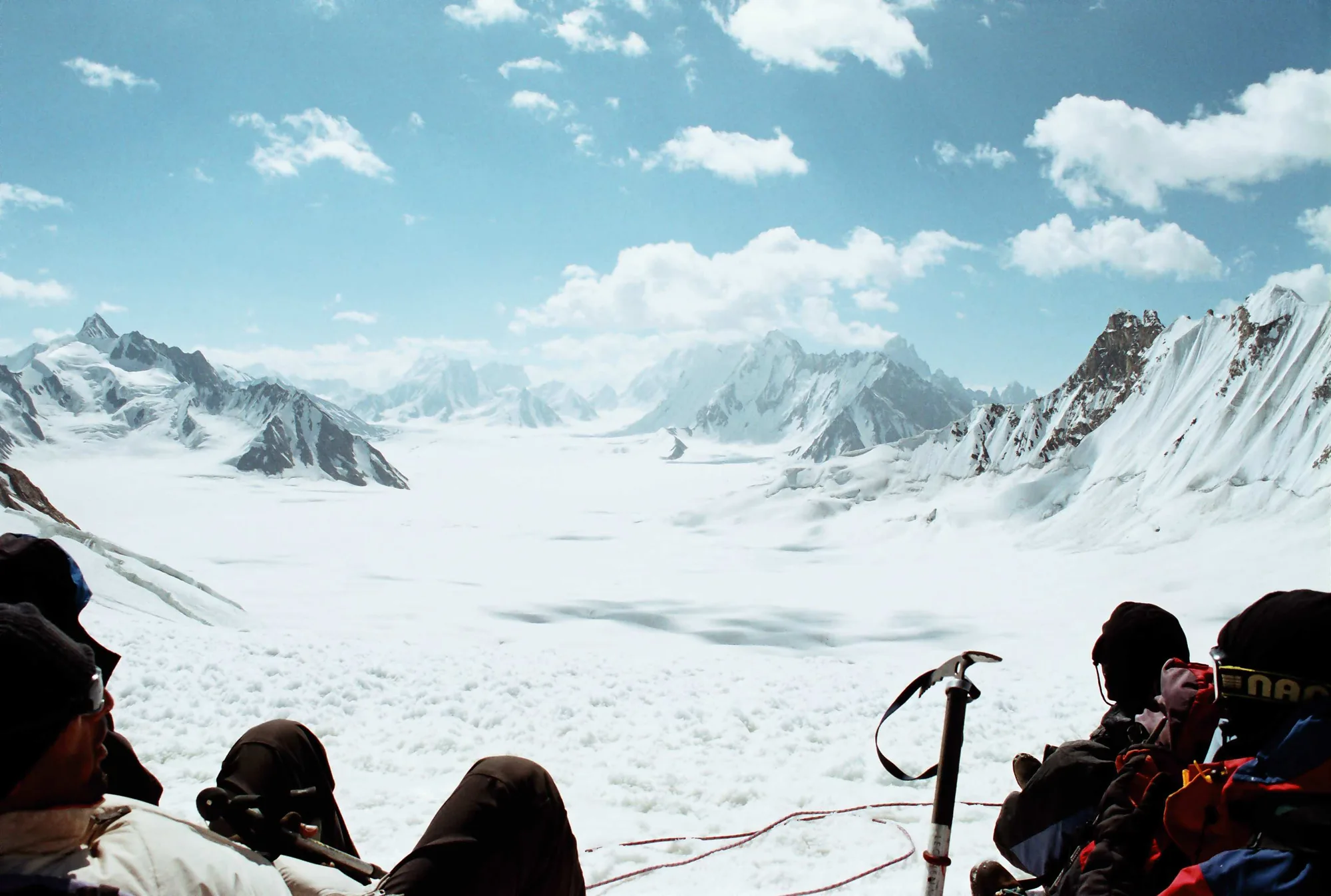
The Baltoro in full: Trango, Masherbrum, Broad Peak, then Concordia, where four of the world's fourteen eight thousanders stand in one view.
See the route1 / 10
Our story
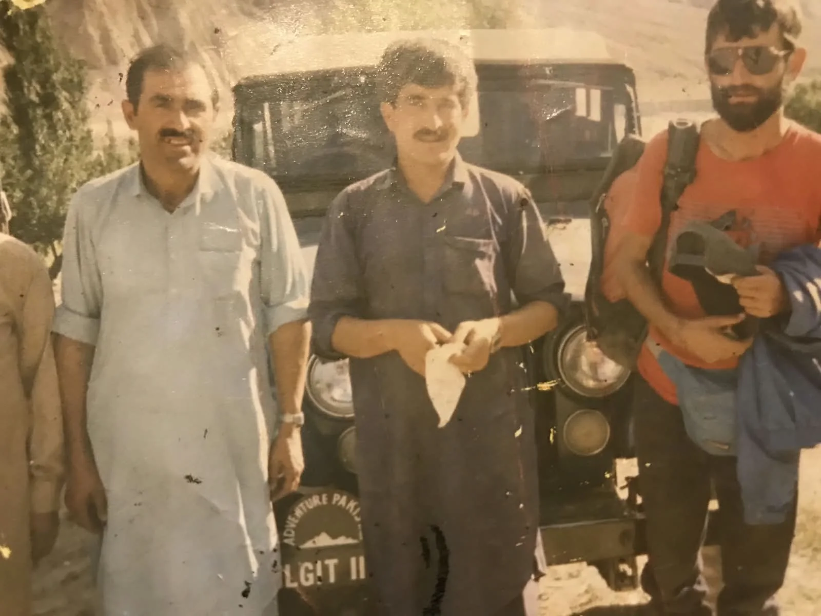
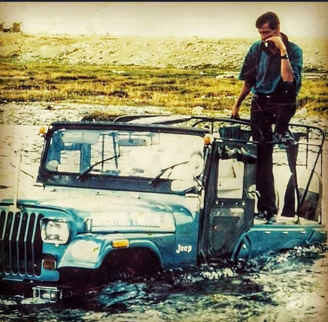
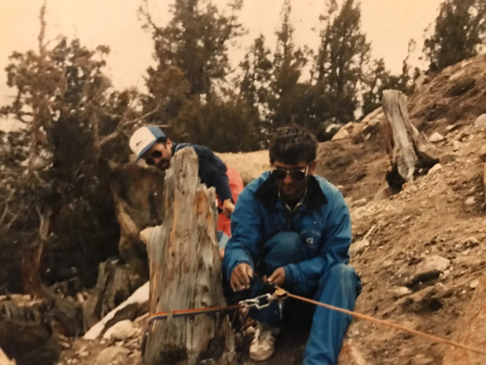
Beek Baig and one jeep out of Gilgit
Beek Baig started guiding out of Gilgit when the Karakoram Highway was still raw, the Baltoro had no itinerary written for it, and the only way to know whether a pass went through was to walk up and look.
There was no office. There was a jeep, a crew who had grown up on that ground, and a reputation that travelled by word of mouth between one expedition and the next.
The full story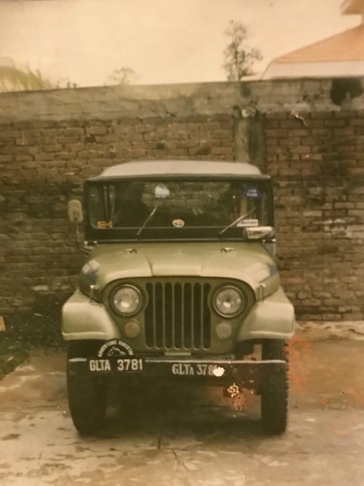
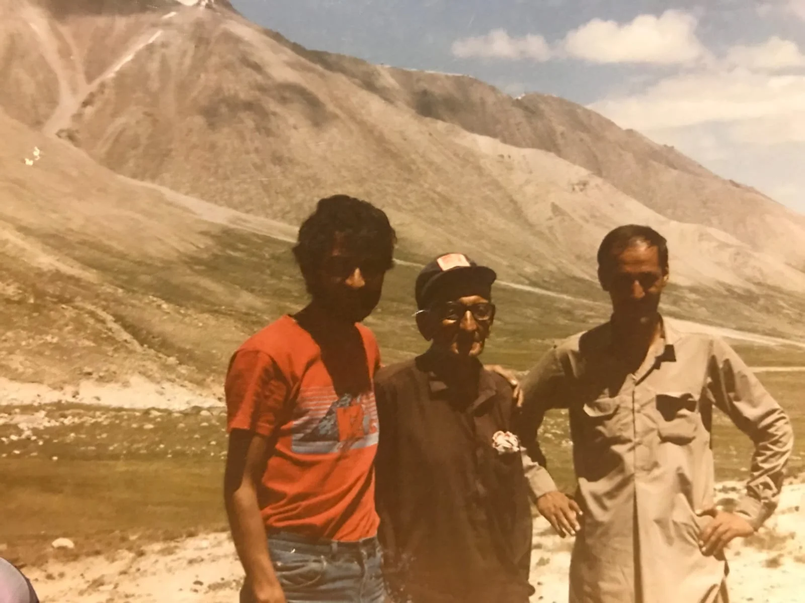
Routes that did not exist until someone walked them
Through the nineties the work was reconnaissance as much as guiding. Approaches to the high pastures. Connections between glacier systems that locals used and nobody had written down. Winter ground for the conservancy hunts that were just beginning.
Conservation, by the people who live there
Gilgit-Baltistan's community conservancy programme turned trophy hunting from a problem into the reason the markhor came back, by giving each village a share of the permit fee and a reason to count its own herd.
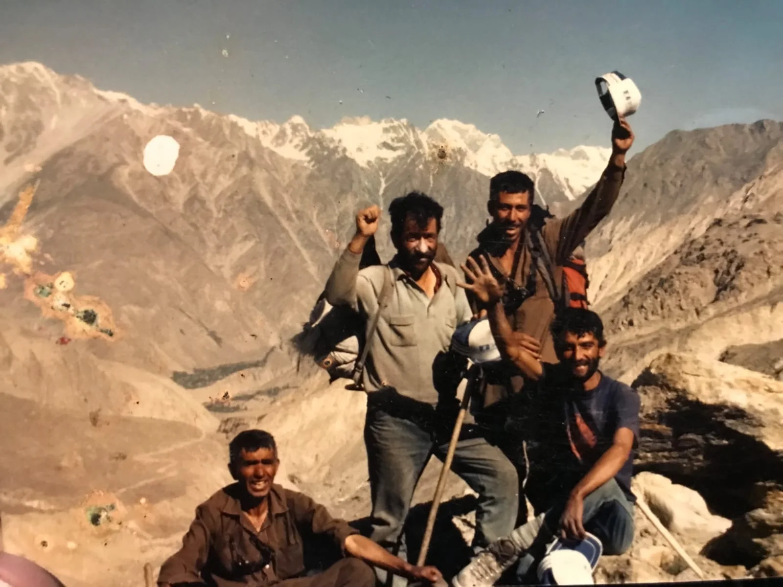
Wild Karakoram
Two generations in, the operation runs treks, conservancy hunts, overland safaris and cultural journeys across Gilgit-Baltistan, with a Land Cruiser fleet, licensed high altitude guides and a crew whose fathers carried for the first expeditions.
Ten districts, seventy-two places
Every camp, pass, conservancy and roadhead we use, pinned at its own coordinates.
District boundaries and the provincial edge from geoBoundaries, rivers from Natural Earth, place positions from OpenStreetMap. A few pasture and side valley pins sit on the valley rather than a surveyed point.
Plan your trip
From the field
All articles
Tell us when you can travel
Send the route, the season and who is coming. A guide answers, usually inside two working days.
Start an enquiry