
Town or village
Naltar
Gilgit district · 2,900 m
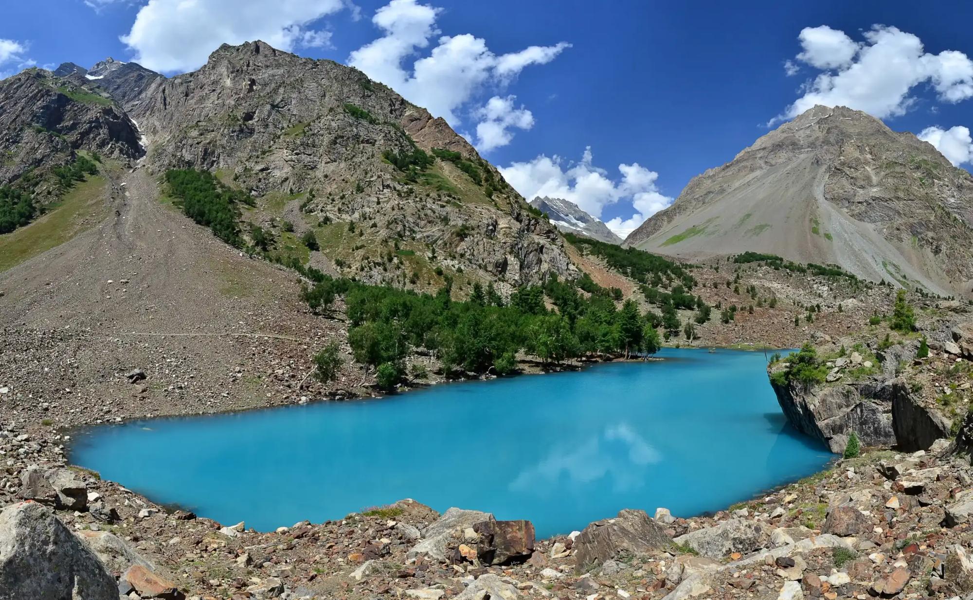
Pine forest, three coloured lakes and the only ski lift in Gilgit-Baltistan, a few hours from Gilgit.
Naltar lies north west of Gilgit in a side valley covered in pine and juniper, with lakes and meadows higher up. The army runs a ski training school and a winter survival school here, and a ski competition is usually held in winter. Snow leopards have been recorded in the valley. The book is clear that Naltar should not be missed, and we agree.
Kind Town or villageDistrict GilgitElevation 2,900 mPosition about 36.167° N, 74.183° E
About Naltar
The way in goes through the village of Nomal, about 25 km north of Gilgit. From there, Lower Naltar is about 7 km on a jeep track, and Upper Naltar a further 6 to 7 km. Lower Naltar is a Shia area and Upper Naltar is Sunni. The lake, with its shades of aquamarine and green, is another 12 km on a jeep track, or a gentle walk of three to four hours. Walk it if you can, because the colours are the reward.
Beyond the lake are summer villages and pastures used by the Gujars, herders who move south in winter and return in summer. They speak their own language as well as that of the area, and some serve as shepherds for entire villages in exchange for milk. Say hello and you may be offered a cup of it.
Naltar is also the start of two long treks for adventure lovers, west to Ishkoman and east to Chalt in Nagar. The route to Chalt runs in six stages by way of Naltar Lake, Lower Shani, Daintar Base Camp, Tolibari and Torbuto Das. All treks in Naltar go with a local guide, which helps you find the paths and the best viewpoints.
Elsewhere in Gilgit
Swipe along the district, from the valley floor to the summits.