
Town or village
Bagrote
Nagar district · 2,300 m
Seven villages under the Diran icefall, an hour off the highway and a quiet side trip away from the usual circuit.
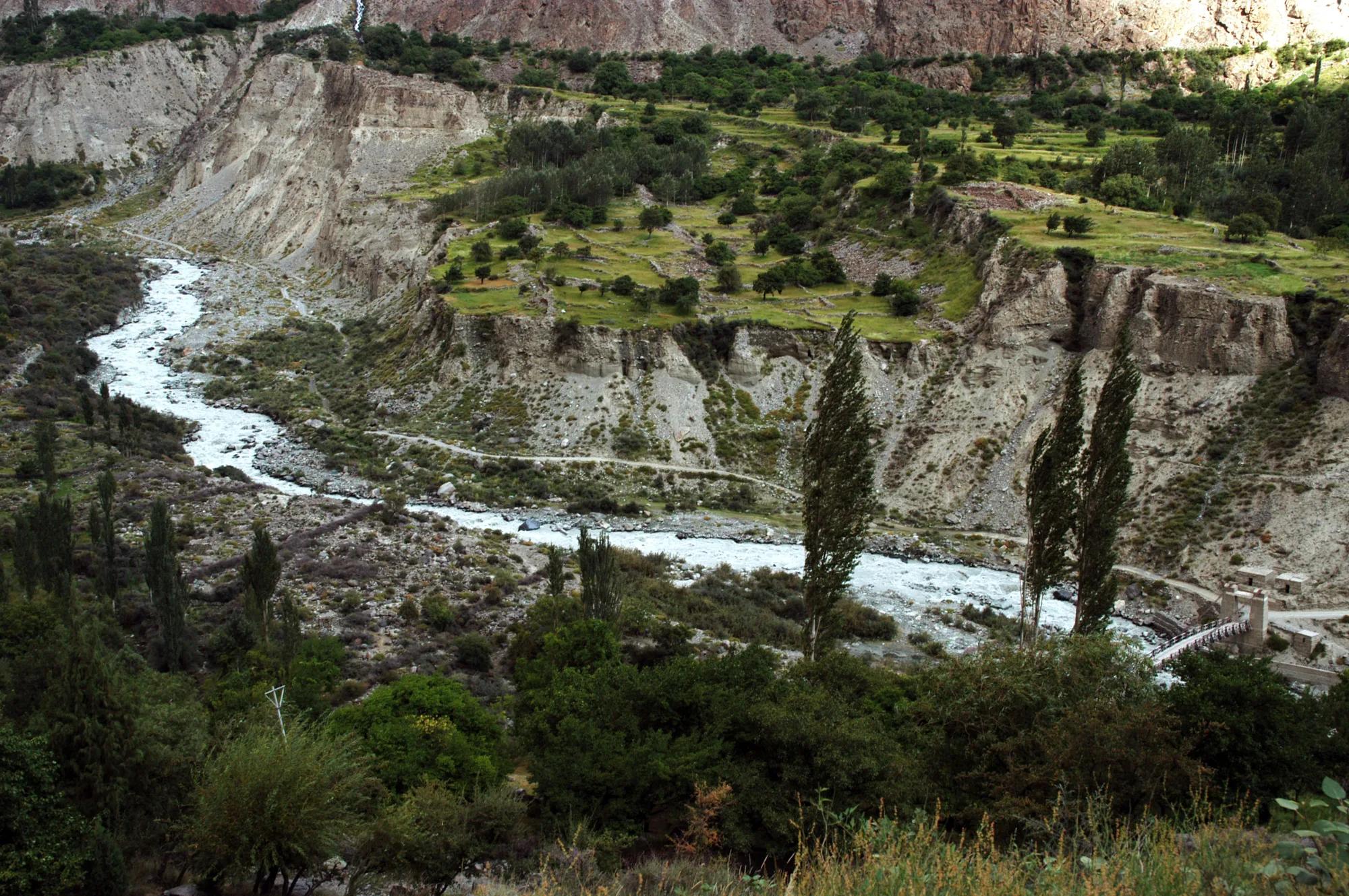
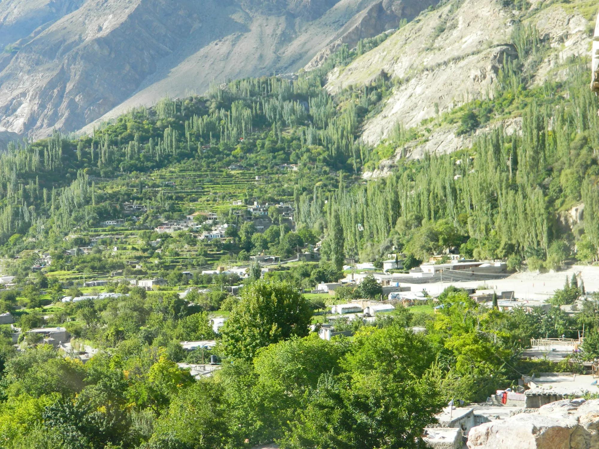
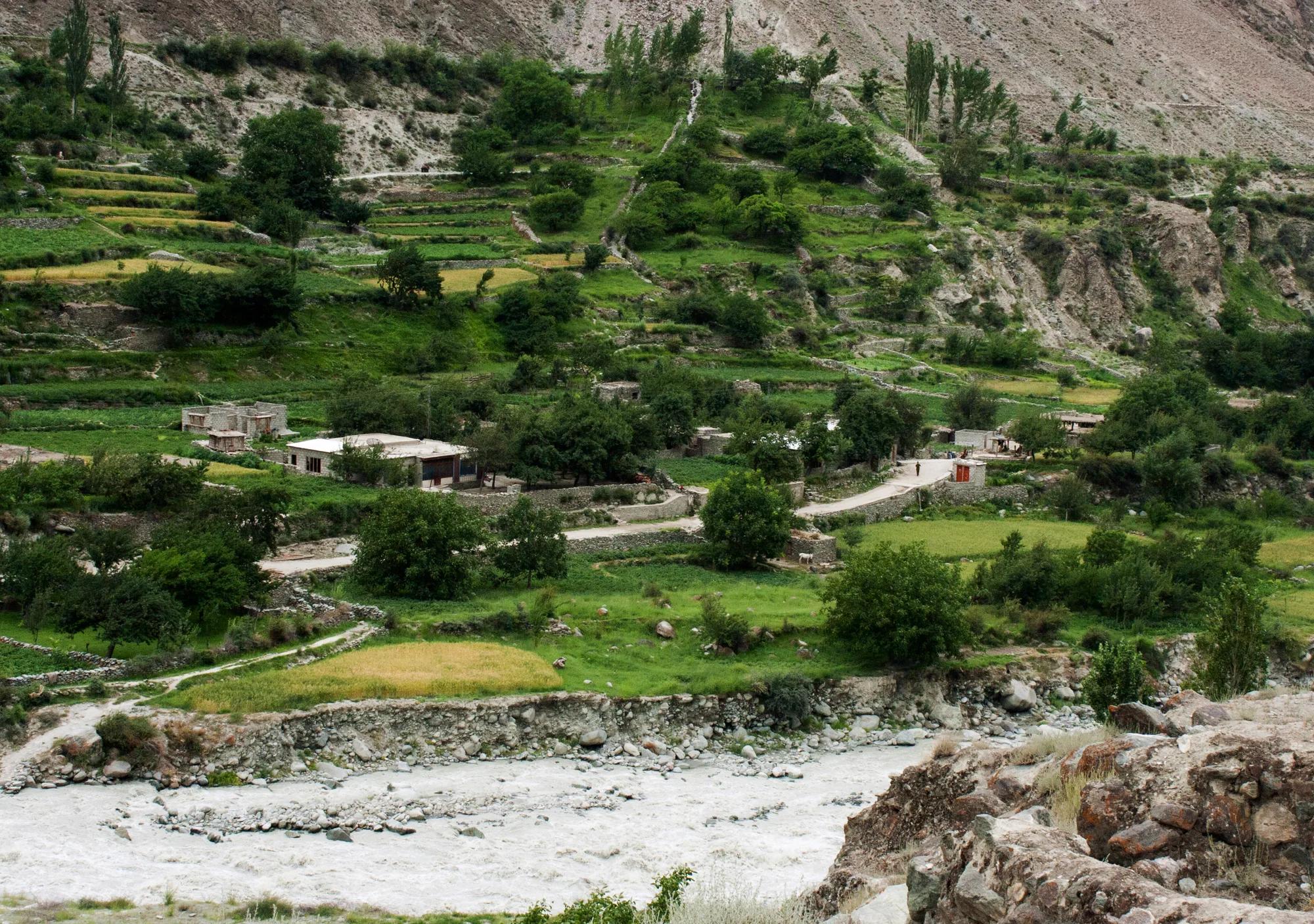
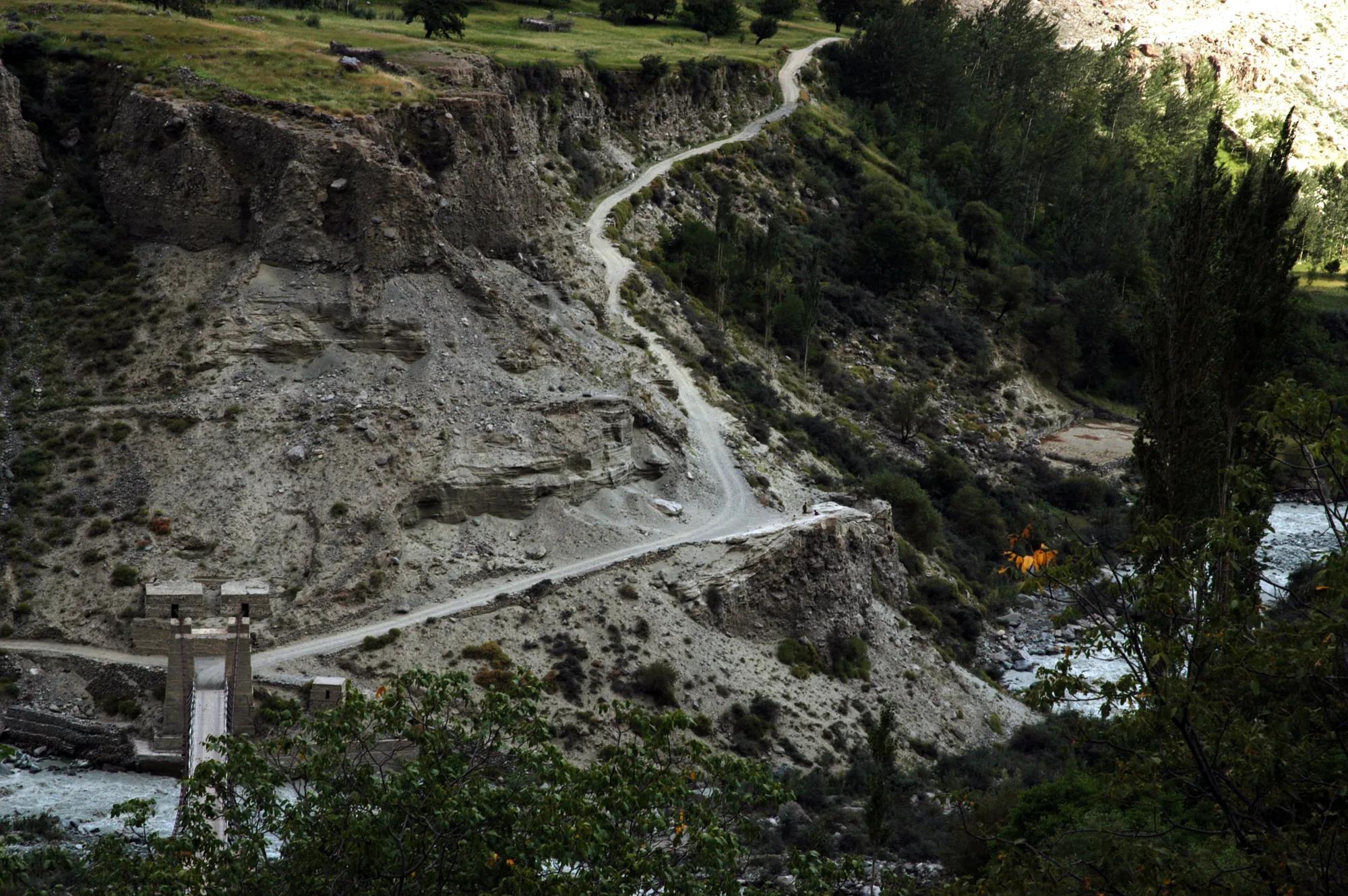
Bagrote (also written Bagrot) is a side valley of seven villages under the Diran icefall, an hour off the Karakoram Highway and well away from the usual tourist circuit. That is its charm: orchards, village lanes and a big mountain wall above you.
Kind Town or villageDistrict NagarElevation 2,300 mPosition 36.172° N, 74.670° E
About Bagrote
The valley is better suited to a slow day or two than to a checklist. Wander between the villages, say hello to the farmers in their fields and let the icefall do the talking. The book places Bagrote on a map sheet together with the neighbouring Haramosh valley, which tells you what kind of mountain country this is.
Elsewhere in Nagar
Swipe along the district, from the valley floor to the summits.
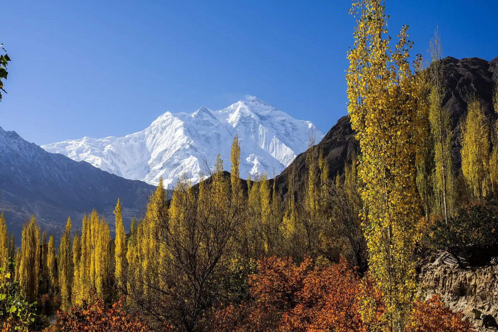
Summit · 7,788 m
Rakaposhi
At 7,788 m, Rakaposhi rises nearly six vertical kilometres straight off the highway, one of the steepest rises from valley floor to summit in the Karakoram, and you can enjoy it from your window.
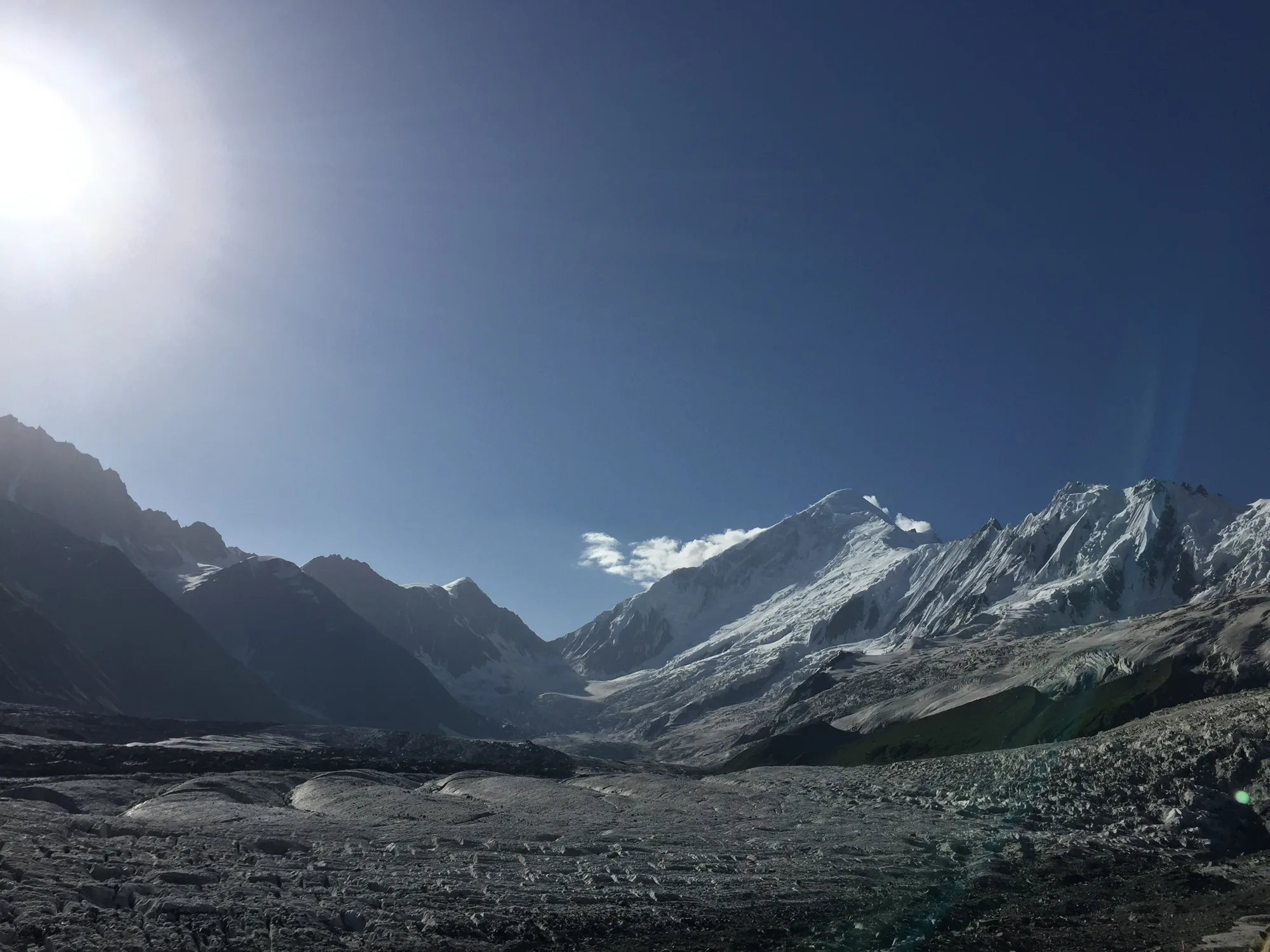
Base camp · 3,500 m
Rakaposhi BC
A green meadow at Tagaphari, 3,500 m above Minapin, two walking days from the road and directly under Rakaposhi and Diran.
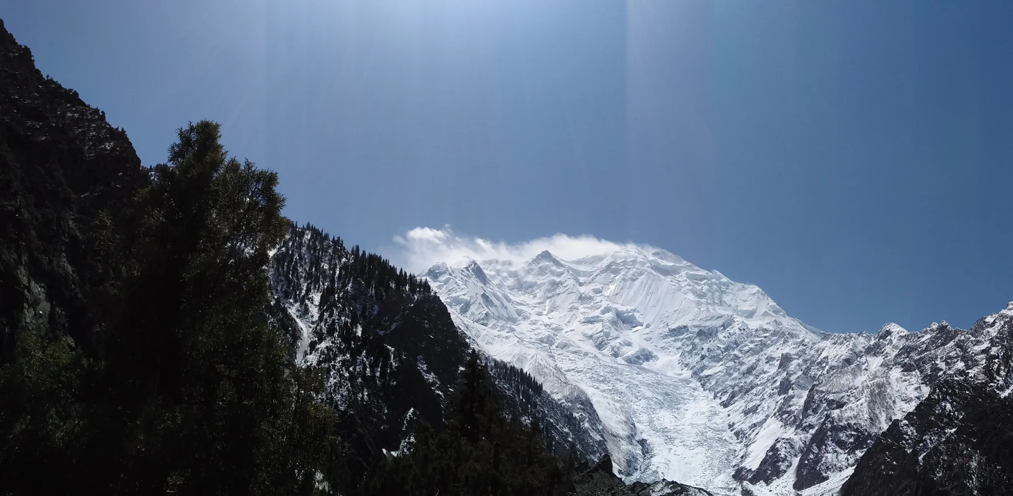
Town or village · 2,000 m
Minapin
The roadhead for Rakaposhi: the trek begins at the end of the village lane, and the mountain is above the roofs.
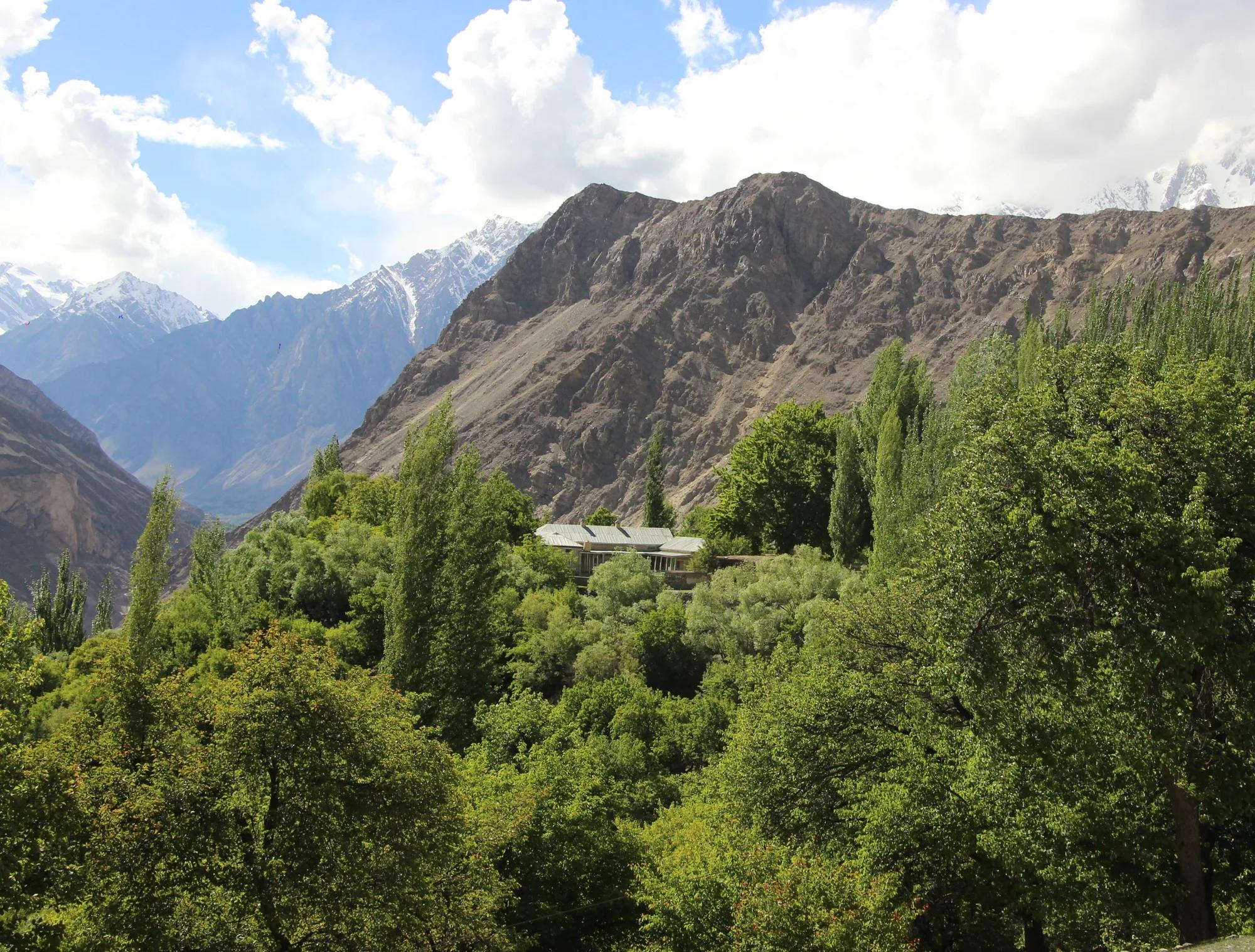
Town or village · 2,700 m
Nagar Khas
The old Nagar capital, facing Karimabad across the Hunza gorge, with a proud history shared with its neighbour.
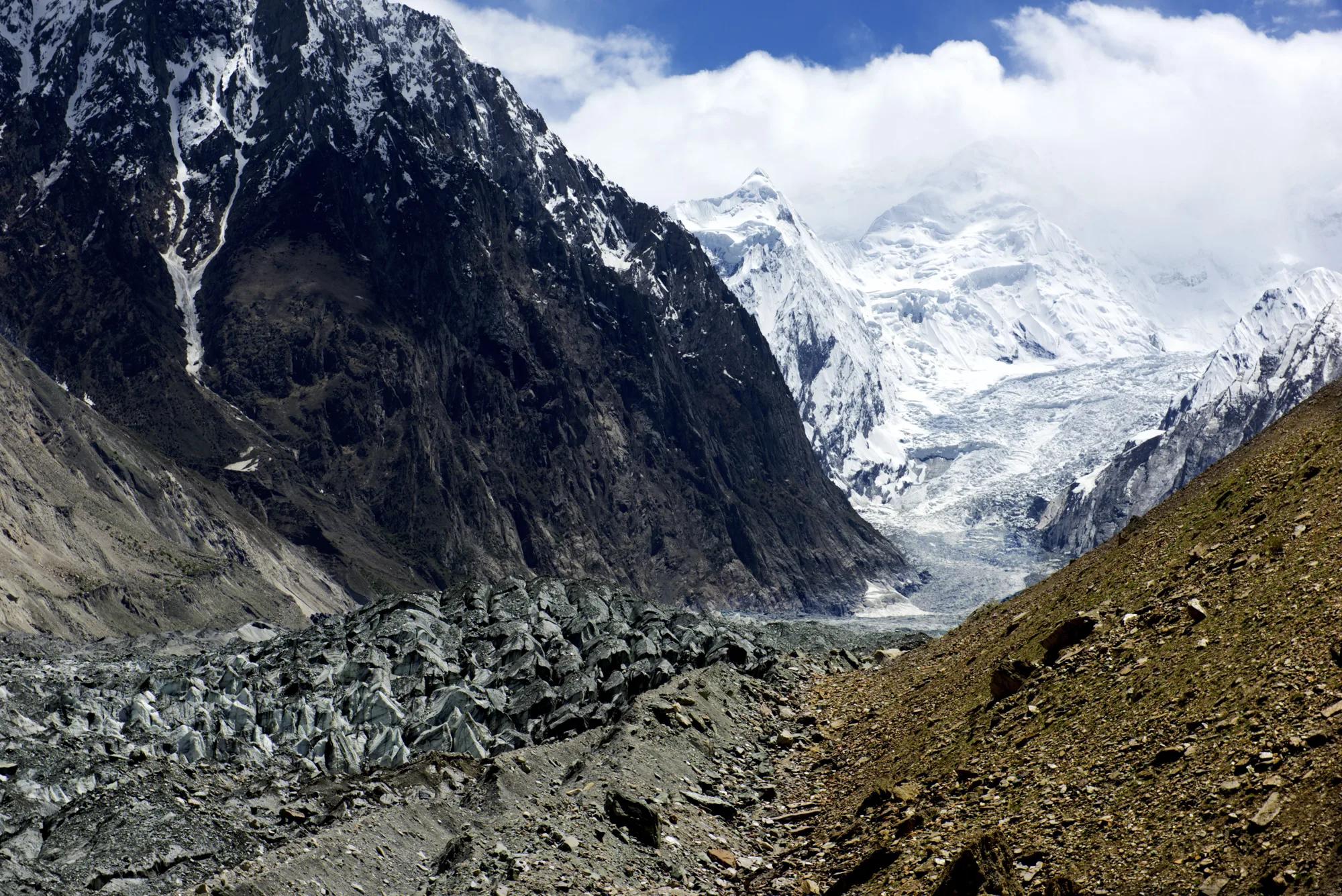
Glacier · 2,800 m
Hopper Glacier
A black ice tongue below the village bowl at Hopper, and the start of the walk to Rush Lake.
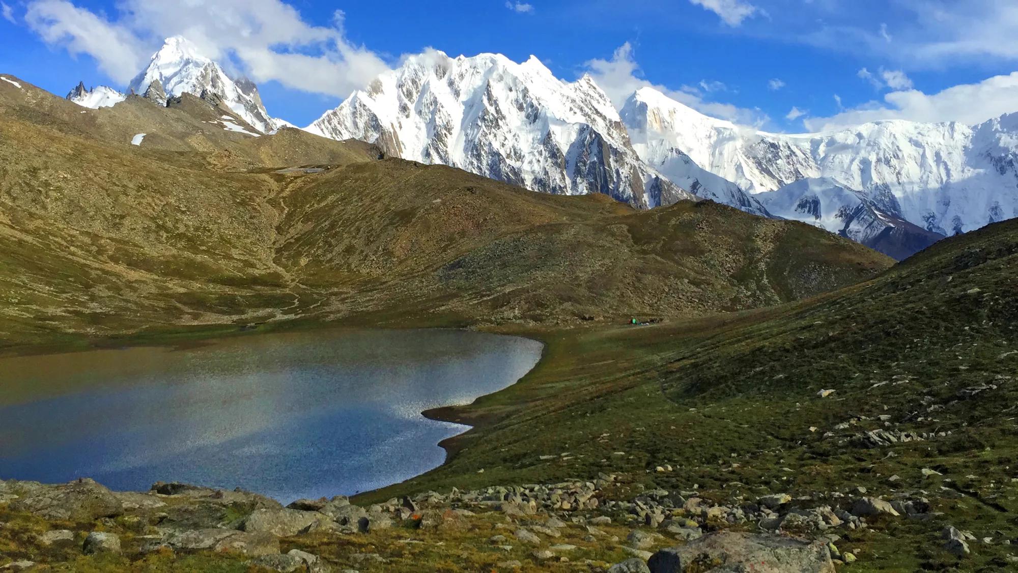
Lake or water · 4,694 m
Rush Lake
At 4,694 m, Rush Lake is one of the highest alpine lakes on earth, set under the Spantik massif.
- 3,200 m
Town or village
Hispar
The last village on the Hispar side: the fields stop and the glacier begins.
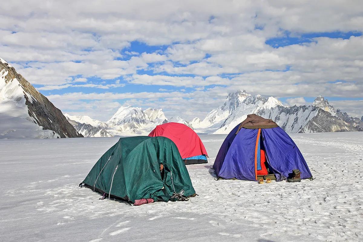
Pass · 5,151 m
Hispar La
At 5,151 m, the pass that links the Biafo and Hispar glaciers, the high point of one of the great glacier journeys in the Karakoram.