
Base camp
Fairy Meadows
Diamer district · 3,300 m
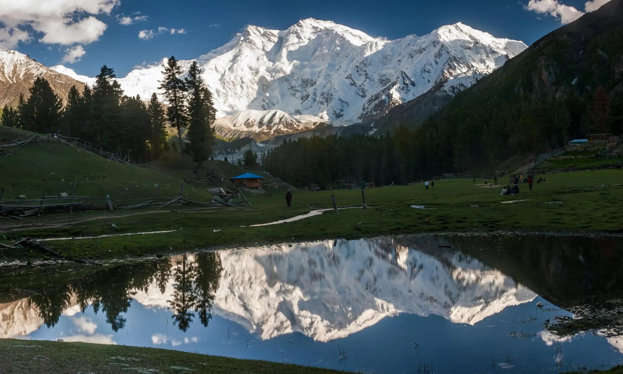
Fairy Meadows is a grass terrace in the pines at 3,300 m, facing the Rakhiot face of Nanga Parbat.
Fairy Meadows is the best known and most popular of the routes to Nanga Parbat, and for good reason. A picturesque, open meadow sits among pine forest and summer herding settlements, and the north face of the ninth highest mountain on earth fills the sky above it, with perfect views. It was the forward camp for the German expeditions, and the meadow has hardly changed its shape since.
Kind Base campDistrict DiamerElevation 3,300 mPosition 35.387° N, 74.575° E
About Fairy Meadows
The way in is part of the fun. From Raikot Bridge a narrow jeep track of about 15 km climbs to Tato, also called Jhel. After that the book gives two to three hours of easy walking through the trees to the meadow itself. Our itinerary allows about two.
Once there, there is plenty to do besides look. You can visit the herders' summer settlements around the meadow, and guides and porters are available on the spot. From the meadow Beyal is about an hour upstream, a perfectly easy walk through forest and summer pasture, and it makes a lovely short outing.
Beyond Beyal the route splits. One branch leads towards Buldar Peak, a two day climb for those with mountaineering equipment. The other crosses an icy stream flowing from the Ganalo glacier and carries on to Nanga Parbat base camp. Our trek goes as far as the Rakhiot moraine, and returns to Beyal.
For experienced trekkers there is also a long way out. The book lists Fairy Meadows to Astore as a strenuous and technical crossing of 3 to 4 days, reaching 4,965 m, a grand route for a second visit.
Elsewhere in Diamer
Swipe along the district, from the valley floor to the summits.