
Town or village
Darel
Diamer district · 1,700 m
Darel is a forested side valley north of the Indus with cedar stands, Buddhist ruins and a wonderfully quiet welcome.
Darel is one of the richest archaeological sites in the region. The Chinese monks Fa Hsien in 430 AD and Xuan Zang in 630 AD both visited. They saw the Buddhist shrine at Phoguch and a wooden statue of the Maitreya Bodhisattva said to be 30 m (100 ft) high. Today the valley is better known for its natural beauty and for how peaceful it is.
Kind Town or villageDistrict DiamerElevation 1,700 mPosition about 35.617° N, 73.633° E
About Darel
It runs off the Indus from the Shatial Bridge on the Karakoram Highway. Darel lies about 219 km southwest of Gilgit and 82 km northwest of Chilas, and Gumari is its administrative headquarters.
A rest house at Tangir and another at Gumari, the main village of Darel, can be booked from Chilas and from Gilgit. Come as a guest and you will find this a gentle, rewarding valley to explore.
Elsewhere in Diamer
Swipe along the district, from the valley floor to the summits.
- 1,265 m
Town or village
Chilas
Chilas is the old crossing place of the Indus, and the rocks around it carry more than 30,000 petroglyphs.
- 1,200 m
Town or village
Raikot Bridge
Raikot Bridge is the turn off the Karakoram Highway where the jeeps take over for Fairy Meadows.
Base camp · 3,300 m
Fairy Meadows
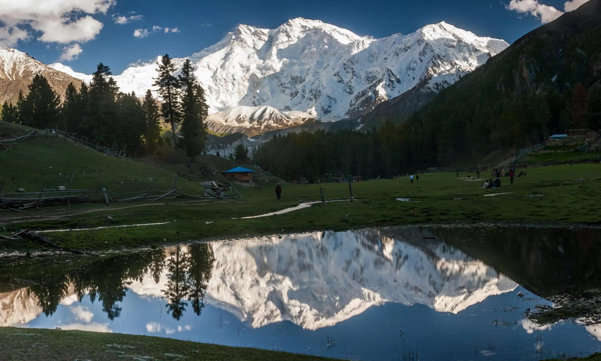
Fairy Meadows is a grass terrace in the pines at 3,300 m, facing the Rakhiot face of Nanga Parbat.
- 8,126 m
Summit
Nanga Parbat
Nanga Parbat rises to 8,126 m as the western anchor of the Himalaya, and its Rakhiot face stands 4,600 m above the camp.
- 4,173 m
Pass
Babusar Pass
Babusar Pass reaches 4,173 m and is the summer short cut between the Kaghan valley and Chilas.
- 1,800 m
Town or village
Tangir
Tangir is the valley west of Darel, and both were independent republics until 1952.